Latitude: 51.2454 / 51°14'43"N
Longitude: 1.3102 / 1°18'36"E
OS Eastings: 631125
OS Northings: 154791
OS Grid: TR311547
Mapcode National: GBR X1F.VFB
Mapcode Global: VHLGR.NYJM
Plus Code: 9F3368W6+53
Entry Name: Churchyard Wall and Gates to North, East and West of Church of St Mary
Listing Date: 26 November 1987
Grade: II
Source: Historic England
Source ID: 1070211
English Heritage Legacy ID: 178149
ID on this website: 101070211
Location: St Mary's Church, Eastry, Dover, Kent, CT13
County: Kent
District: Dover
Civil Parish: Eastry
Built-Up Area: Eastry
Traditional County: Kent
Lieutenancy Area (Ceremonial County): Kent
Tagged with: Churchyard wall
EASTRY CHURCH STREET TR 3154 (east side) 13/118 Churchyard wall and gates to north, east and west of Church of St. Mary GV II
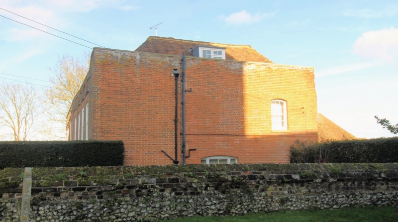
Churchyard wall and gates. C18 and earlier. Flint with red brick upper courses and coping and cast iron gates. Approximately 5 feet high, extending about 15 feet to left of double gates with spear-headed uprights, sweeping transom rails with single rail overthrow and lamp with finial top. Gate to right is a timber gate with horizontal timber rail across lower middle, a diagonal timber rail across upper half of gate and inset spear-headed uprights and wall about 35 yards in length, with dogtooth cornice to coping, returned to nroth and east of church and forming churchyard wall. The sections to north and east of the church include rubble remains of at least C14 relating to the Archiepiscoal palace to the north of the church (Eastry Court).
Listing NGR: TR3114254780
External links are from the relevant listing authority and, where applicable, Wikidata. Wikidata IDs may be related buildings as well as this specific building. If you want to add or update a link, you will need to do so by editing the Wikidata entry.


Other nearby listed buildings