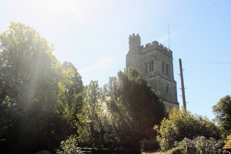
Latitude: 51.149 / 51°8'56"N
Longitude: 0.6863 / 0°41'10"E
OS Eastings: 587977
OS Northings: 142293
OS Grid: TQ879422
Mapcode National: GBR QV4.SD8
Mapcode Global: VHJN2.VD50
Plus Code: 9F324MXP+JG
Entry Name: Church of St Michael
Listing Date: 14 February 1967
Grade: I
Source: Historic England
Source ID: 1071358
English Heritage Legacy ID: 181256
Also known as: St Michael the Archangel's Church, Smarden
ID on this website: 101071358
Location: St Michael's Church, Smarden, Ashford, Kent, TN27
County: Kent
District: Ashford
Civil Parish: Smarden
Built-Up Area: Smarden
Traditional County: Kent
Lieutenancy Area (Ceremonial County): Kent
Tagged with: Church building
1. 5272 SMARDEN THE STREET Church of St Michael TQ 8742 23/1 TQ 8842 29/1 14.2.67.
I
2. Chancel, nave, north and south proches and west tower. Chancel and nave C14. Tower C15. Two piscinas and sedilia and aumbry. The church is sometimes called the Barn of Kent, on account of the design of its roof and the width of the nave. The churchyard contains some C18 table tombs and headstones, some double with cherub, skull or bone and mattock motifs.
Listing NGR: TQ8797942292
External links are from the relevant listing authority and, where applicable, Wikidata. Wikidata IDs may be related buildings as well as this specific building. If you want to add or update a link, you will need to do so by editing the Wikidata entry.


Other nearby listed buildings