Approximate Location Map
Large Map »
Latitude: 51.2571 / 51°15'25"N
Longitude: 0.2692 / 0°16'8"E
OS Eastings: 558436
OS Northings: 153326
OS Grid: TQ584533
Mapcode National: GBR MNF.2W0
Mapcode Global: VHHPT.MN4P
Plus Code: 9F327749+RM
Entry Name: Mote Farmhouse
Listing Date: 1 August 1952
Grade: II
Source: Historic England
Source ID: 1071970
English Heritage Legacy ID: 357256
ID on this website: 101071970
Location: Tonbridge and Malling, Kent, TN15
County: Kent
District: Tonbridge and Malling
Civil Parish: Ightham
Traditional County: Kent
Lieutenancy Area (Ceremonial County): Kent
Church of England Parish: Ightham St Peter
Church of England Diocese: Rochester
Tagged with: Farmhouse
TQ 55 SE IGHTHAM MOTE ROAD
3/10 (west side)
1.8.52 Mote Farmhouse
II
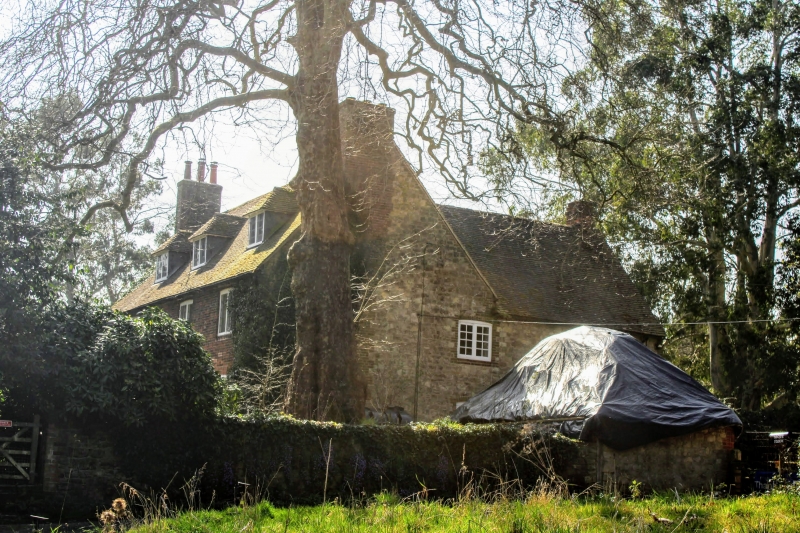
Farmhouse. C18. Red brick. Eaves bracketted gutter to plain tiled roof with end
stacks and 3 hipped dormers. Two storeys. Four windows, the second from left on
first floor blocked. Casements on first floor, glazing bar sashes in segment head
surrounds on ground floor. Central panelled door with archlight and flat hood. Sides
of-block in coursed rubble stone. Rear wing to north-east of coursed rubble stone
with red brick dressings.
Listing NGR: TQ5843553324
External links are from the relevant listing authority and, where applicable, Wikidata. Wikidata IDs may be related buildings as well as this specific building. If you want to add or update a link, you will need to do so by editing the Wikidata entry.


Other nearby listed buildings
