Latitude: 53.7018 / 53°42'6"N
Longitude: -2.1992 / 2°11'57"W
OS Eastings: 386946
OS Northings: 422832
OS Grid: SD869228
Mapcode National: GBR FT2M.PR
Mapcode Global: WHB8J.6700
Plus Code: 9C5VPR22+P8
Entry Name: 19 and 21, Rochdale Road
Listing Date: 30 November 1984
Grade: II
Source: Historic England
Source ID: 1072834
English Heritage Legacy ID: 185630
ID on this website: 101072834
Location: Bacup, Rossendale, Lancashire, OL13
County: Lancashire
District: Rossendale
Electoral Ward/Division: Greensclough
Parish: Non Civil Parish
Built-Up Area: Bacup
Traditional County: Lancashire
Lieutenancy Area (Ceremonial County): Lancashire
Tagged with: Building
SD 82 SE BACUP ROCHDALE ROAD (west side)
13/53 Nos. 19 and 21 - GV II
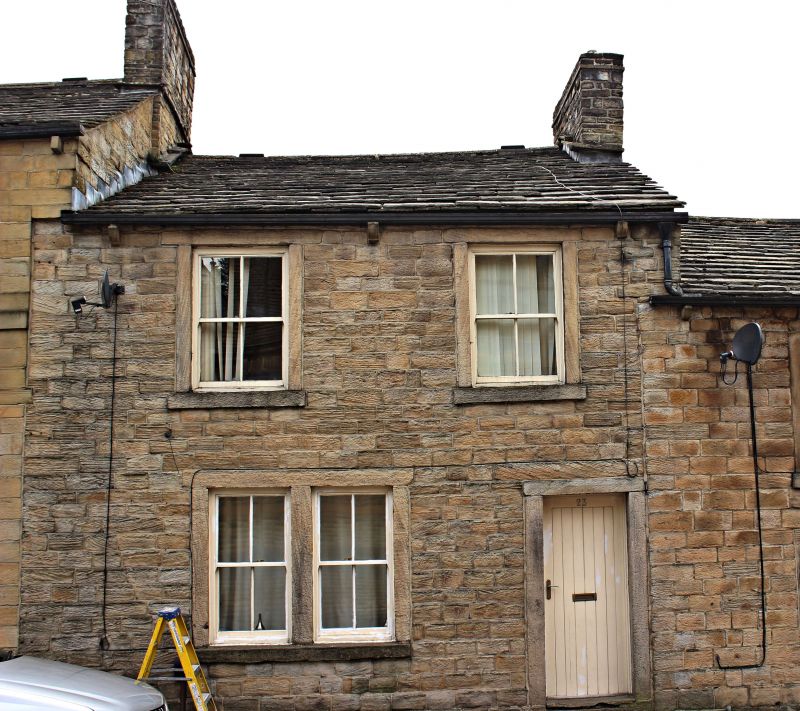
Pair of cottages, c.1800, one altered as shop, both empty (1984). Watershot coursed sandstone blocks, stone slate roof with chimney stack on ridge at junction. Double depth plan, each cottage one bay. Two low storeys to front, 3 to rear (which is on lower level and is identified by nameplate on wall: INDUSTRIAL PLACE); No. 19 has C19 double shop front with housing for awning, 2 sashed windows above, and No. 21 has plain doorway to right, one window at ground floor (now boarded) and 2 sashed windows above. Rear: each has a door to the lower level and No. 21 also has a vertically aligned upper door to the ground floor with remains of steps to it (deck missing); No. 19 has inter alia 2 stepped triple-light windows to top floor (now boarded), No. 21 has one at the lower level, another at ground floor (both boarded) and 2 at top floor.
Listing NGR: SD8694622832
External links are from the relevant listing authority and, where applicable, Wikidata. Wikidata IDs may be related buildings as well as this specific building. If you want to add or update a link, you will need to do so by editing the Wikidata entry.


Other nearby listed buildings