Latitude: 53.8568 / 53°51'24"N
Longitude: -2.1405 / 2°8'25"W
OS Eastings: 390854
OS Northings: 440077
OS Grid: SD908400
Mapcode National: GBR FRHV.C5
Mapcode Global: WHB7S.2BZ3
Plus Code: 9C5VVV45+PQ
Entry Name: Winewall Bridge
Listing Date: 29 January 1988
Grade: II
Source: Historic England
Source ID: 1073387
English Heritage Legacy ID: 186264
ID on this website: 101073387
Location: Cotton Tree, Pendle, Lancashire, BB8
County: Lancashire
District: Pendle
Civil Parish: Trawden Forest
Built-Up Area: Colne
Traditional County: Lancashire
Lieutenancy Area (Ceremonial County): Lancashire
Church of England Parish: Colne Christ Church
Church of England Diocese: Blackburn
Tagged with: Bridge
SD 94 SW COLNE WINEWALL ROAD
8/113 Winewall Bridge
-
- II
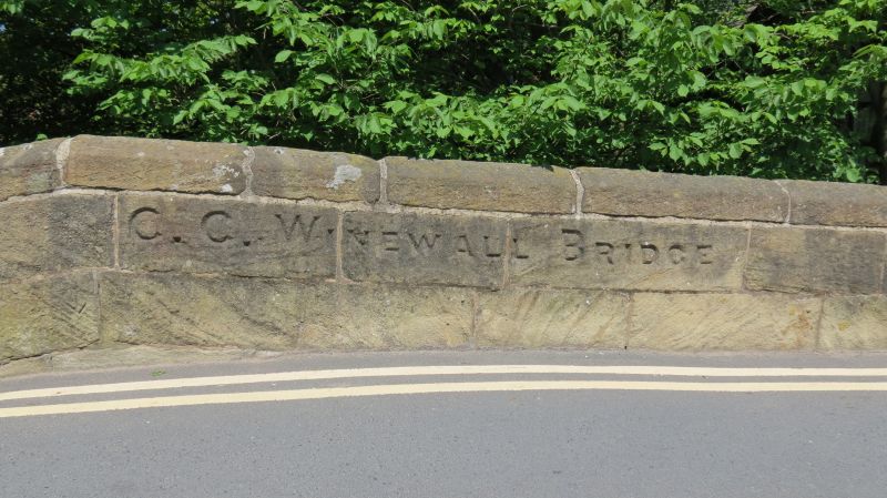
Bridge. Early C19. Stone. Single segmental arch with voussoirs. Plain parapet,
above band, with coping rising to peak above arch., Inscribed on roadside
C.C. Winewall Bridge. Parapet continued as boundary wall. A bridge was first
recorded at this point in 1541.
Listing NGR: SD9085440077
External links are from the relevant listing authority and, where applicable, Wikidata. Wikidata IDs may be related buildings as well as this specific building. If you want to add or update a link, you will need to do so by editing the Wikidata entry.


Other nearby listed buildings