Approximate Location Map
Large Map »
Latitude: 52.6562 / 52°39'22"N
Longitude: -1.4425 / 1°26'33"W
OS Eastings: 437807
OS Northings: 306647
OS Grid: SK378066
Mapcode National: GBR 6J6.G3P
Mapcode Global: WHDJ5.TH8H
Plus Code: 9C4WMH44+FX
Entry Name: Shackerstone Station Bridge
Listing Date: 10 August 1989
Grade: II
Source: Historic England
Source ID: 1074213
English Heritage Legacy ID: 188233
ID on this website: 101074213
Location: Shackerstone, Hinckley and Bosworth, Leicestershire, CV13
County: Leicestershire
District: Hinckley and Bosworth
Civil Parish: Shackerstone
Traditional County: Leicestershire
Lieutenancy Area (Ceremonial County): Leicestershire
Church of England Parish: Shackerstone St Peter
Church of England Diocese: Leicester
Tagged with: Bridge
SK 30 NE SHACKERSTONE STATION ROAD
Shackerstone
2/100
Shackerstone Station
Bridge
II
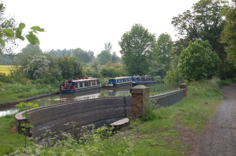
Road bridge. Circa 1873. Cast iron bridge on red brick supports. 3
bays spanning the River Sence. Cast iron openwork parapet and brick
end piers with stone caps. Included for group value.
Listing NGR: SK3772106680
External links are from the relevant listing authority and, where applicable, Wikidata. Wikidata IDs may be related buildings as well as this specific building. If you want to add or update a link, you will need to do so by editing the Wikidata entry.


Other nearby listed buildings
