Latitude: 53.3209 / 53°19'15"N
Longitude: -3.0456 / 3°2'44"W
OS Eastings: 330448
OS Northings: 380951
OS Grid: SJ304809
Mapcode National: GBR 7Z51.F8
Mapcode Global: WH87L.5SZH
Plus Code: 9C5R8XC3+9Q
Entry Name: Stone Shelter to South of St Georges Church
Listing Date: 2 December 1986
Grade: II
Source: Historic England
Source ID: 1075388
English Heritage Legacy ID: 215594
Also known as: Stone shelter to south of St. George's Church
ID on this website: 101075388
Location: Thornton Hough, Wirral, Merseyside, CH63
County: Wirral
Electoral Ward/Division: Clatterbridge
Parish: Non Civil Parish
Traditional County: Cheshire
Lieutenancy Area (Ceremonial County): Merseyside
Church of England Parish: Thornton Hough All Saints
Church of England Diocese: Chester
BEBINGTON THORNTON COMMON ROAD SJ3080 (north side) Thornton Hough 16/259 Stone shelter to south of St. George's Church
G.V. II
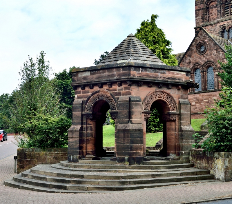
Shelter. 1906-7. By J. Lomax-Simpson. Stone with stone slate roof. Hexagonal plan, clasping buttresses,parapet on corbel table, 2 gargoyles, pyramidal roof. Richly moulded round arches on round responds. Interior has ribbed dome on angle shafts, banded stone cells, central dragon boss. Steps lead down to road.
Listing NGR: SJ3044880951
External links are from the relevant listing authority and, where applicable, Wikidata. Wikidata IDs may be related buildings as well as this specific building. If you want to add or update a link, you will need to do so by editing the Wikidata entry.


Other nearby listed buildings