Latitude: 52.443 / 52°26'34"N
Longitude: -1.9695 / 1°58'10"W
OS Eastings: 402167
OS Northings: 282787
OS Grid: SP021827
Mapcode National: GBR 5HQ.Z3
Mapcode Global: VH9Z1.TV4J
Plus Code: 9C4WC2VJ+65
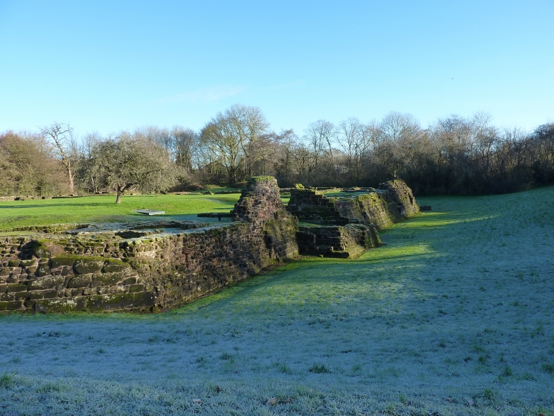
Entry Name: Remains of Weoley Castle
Listing Date: 25 April 1952
Grade: II
Source: Historic England
Source ID: 1075769
English Heritage Legacy ID: 216731
ID on this website: 101075769
Location: California, Birmingham, West Midlands, B29
County: Birmingham
Parish: Non Civil Parish
Built-Up Area: Birmingham
Traditional County: Worcestershire
Lieutenancy Area (Ceremonial County): West Midlands
Church of England Parish: Weoley Castle
Church of England Diocese: Birmingham
ALWOLD ROAD 1. 5104 Weoley Castle B29 Remains of Weoley Castle (formerly listed under Selly Oak) SP 08 SW 11/1 25.4.52 II 2. Footings and foundations of a fortified manor house. Sandstone with 6 towers and a deep moat. These works date from 1264 when Roger de Somery was licensed to crenellate his manor house. A survey of 1422 gives a detailed plan. Fragments of early C13 wooden buildings have been discovered, indicating early use of both horizontal and vertical weatherboarding.
Listing NGR: SP0216782787


Other nearby listed buildings