Latitude: 51.5211 / 51°31'15"N
Longitude: -0.451 / 0°27'3"W
OS Eastings: 507564
OS Northings: 181379
OS Grid: TQ075813
Mapcode National: GBR 20.YT0
Mapcode Global: VHFTC.41D8
Plus Code: 9C3XGGCX+CH
Entry Name: Walls to West and South of Hubbard's Farm Garden
Listing Date: 6 September 1974
Grade: II
Source: Historic England
Source ID: 1080137
English Heritage Legacy ID: 202999
ID on this website: 101080137
Location: Colham Green, Hillingdon, London, UB8
County: London
District: Hillingdon
Electoral Ward/Division: Yiewsley
Parish: Non Civil Parish
Built-Up Area: Hillingdon
Traditional County: Middlesex
Lieutenancy Area (Ceremonial County): Greater London
Church of England Parish: West Hayes
Church of England Diocese: London
Tagged with: Wall
1.
5018 WEST DRAYTON ROAD
(South Side)
C0LHAM GREEN
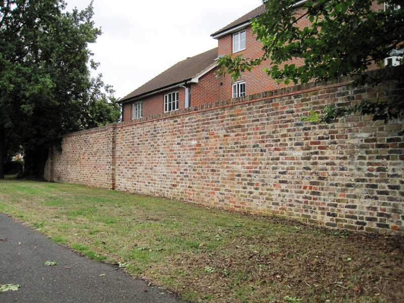
Walls to west and south
of Hubbard's farm garden
TQ 0781 26/439
II
2.
C16 red brick walls.
Listing NGR: TQ0756481379
External links are from the relevant listing authority and, where applicable, Wikidata. Wikidata IDs may be related buildings as well as this specific building. If you want to add or update a link, you will need to do so by editing the Wikidata entry.


Other nearby listed buildings