Latitude: 51.489 / 51°29'20"N
Longitude: -0.1766 / 0°10'35"W
OS Eastings: 526691
OS Northings: 178244
OS Grid: TQ266782
Mapcode National: GBR 4N.JF
Mapcode Global: VHGQY.WTHY
Plus Code: 9C3XFRQF+H9
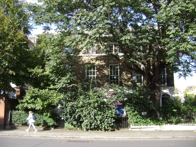
Entry Name: 130 AND 132, FULHAM ROAD SW3 (See details for further address information)
Listing Date: 17 July 1972
Last Amended: 22 March 1989
Grade: II
Source: Historic England
Source ID: 1080655
English Heritage Legacy ID: 203790
ID on this website: 101080655
Location: South Kensington, Kensington and Chelsea, London, SW7
County: London
District: Kensington and Chelsea
Electoral Ward/Division: Courtfield
Parish: Non Civil Parish
Built-Up Area: Kensington and Chelsea
Traditional County: Middlesex
Lieutenancy Area (Ceremonial County): Greater London
Church of England Parish: West Brompton St Mary with St Peter and St Jude
Church of England Diocese: London
Tagged with: Building
The following item shall be included: ELM PLACE SW7 No 1c See under Fulham Road (below)
----------------------------------- In the entry for: 55/36 FULHAM ROAD SW3
Nos 128, 130 and 132
The address shall be amended to read: FULHAM ROAD SW3
Nos 130 and 132 and No 1c Elm Place SW7
----------------------------------- TQ 2678 SE FULHAM ROAD SW3 55/36 17.7.72 Nos 128, 130 and 132
II
Terrace of houses. Early C19. Brick. No 128 has a battered stuccoed brick porch. Nos 130 and 132 have early C19 fanlights. These 2 groups stand on either side of the end of Elm Place and are of similar date and style. They form part of the Elm Place layout.
Listing NGR: TQ2669178244
External links are from the relevant listing authority and, where applicable, Wikidata. Wikidata IDs may be related buildings as well as this specific building. If you want to add or update a link, you will need to do so by editing the Wikidata entry.


Other nearby listed buildings