Approximate Location Map
Large Map »
Latitude: 53.9979 / 53°59'52"N
Longitude: -0.4287 / 0°25'43"W
OS Eastings: 503101
OS Northings: 456906
OS Grid: TA031569
Mapcode National: GBR TQF6.ZM
Mapcode Global: WHGDC.DS30
Plus Code: 9C5XXHXC+5G
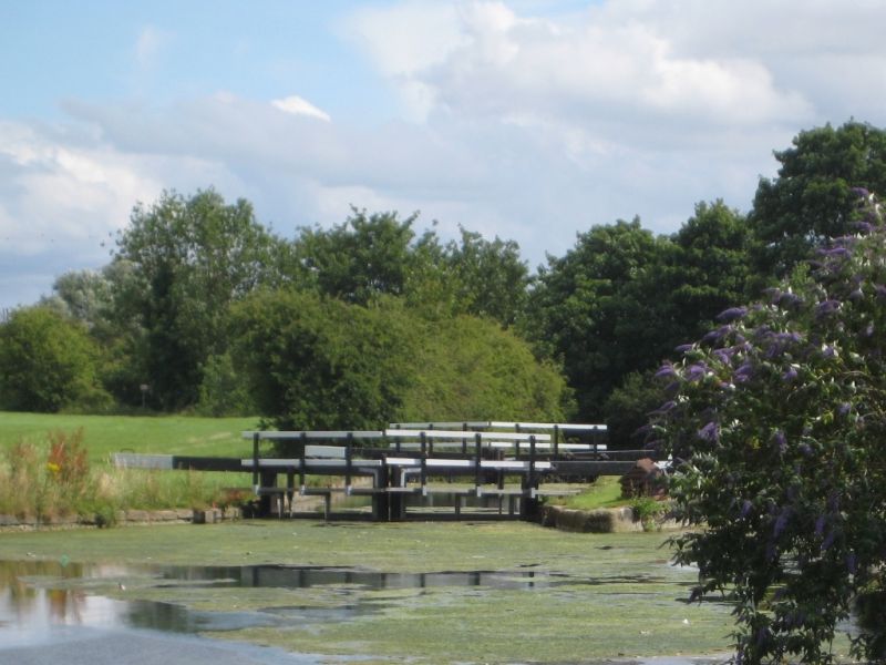
Entry Name: Lock Below Canal Head, Driffield Canal
Listing Date: 9 October 1986
Grade: II
Source: Historic England
Source ID: 1084142
English Heritage Legacy ID: 166963
ID on this website: 101084142
Location: East Riding of Yorkshire, YO25
County: East Riding of Yorkshire
Civil Parish: Driffield
Built-Up Area: Driffield
Traditional County: Yorkshire
Lieutenancy Area (Ceremonial County): East Riding of Yorkshire
Church of England Parish: Great Driffield All Saints
Church of England Diocese: York
Tagged with: Lock
TA 05 NW DRIFFIELD DRIFFIELD CANAL
6/101 Lock below Canal Head
II
Canal lock. c1768 by John Grundy for Driffield Navigation. Red brick with gritstone
dressings. Parallel sides to lock chamber which narrows to gates: the upstream gates
alone survive.
Listing NGR: TA0310156906
External links are from the relevant listing authority and, where applicable, Wikidata. Wikidata IDs may be related buildings as well as this specific building. If you want to add or update a link, you will need to do so by editing the Wikidata entry.


Other nearby listed buildings
