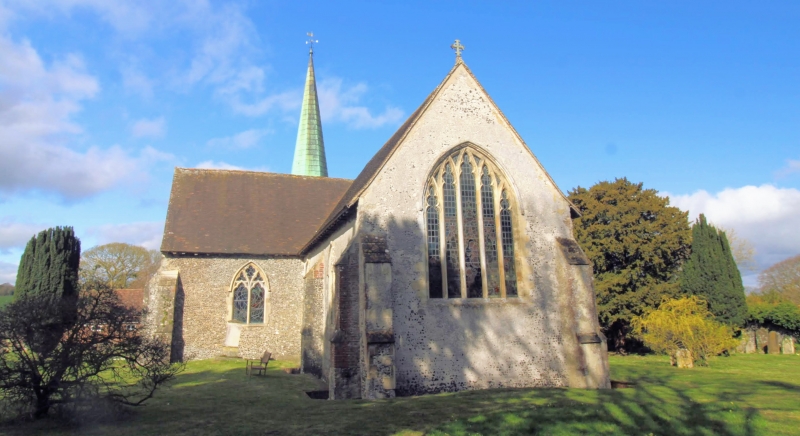
Latitude: 51.2064 / 51°12'23"N
Longitude: 1.162 / 1°9'43"E
OS Eastings: 620971
OS Northings: 150000
OS Grid: TR209500
Mapcode National: GBR W0H.6M7
Mapcode Global: VHLGW.3Y50
Plus Code: 9F336546+HR
Entry Name: Church of St John the Baptist
Listing Date: 30 January 1967
Grade: I
Source: Historic England
Source ID: 1084903
English Heritage Legacy ID: 170948
Also known as: St John the Baptist's Church, Barham, Kent
ID on this website: 101084903
Location: St John the Baptist's Church, Barham, Canterbury, Kent, CT4
County: Kent
District: Canterbury
Civil Parish: Barham
Built-Up Area: Barham
Traditional County: Kent
Lieutenancy Area (Ceremonial County): Kent
Tagged with: Church building
1. 5273 BARHAM THE STREET (west side)
Church of St John the Baptist TR 2050 24/71 30.1.67
I GV
2. Stone cruciform building with north and west porch tower with broached copper spire. Until 1846 this was a Chapel of Ease to Bishopsbourne Church. Chancel and transept late C13, probably by the mason who built the chancel of Bishopsbourne. C14 west tower. Crown post roofs.
Listing NGR: TR2097250007
External links are from the relevant listing authority and, where applicable, Wikidata. Wikidata IDs may be related buildings as well as this specific building. If you want to add or update a link, you will need to do so by editing the Wikidata entry.


Other nearby listed buildings