Approximate Location Map
Large Map »
Latitude: 51.4534 / 51°27'12"N
Longitude: 0.2817 / 0°16'54"E
OS Eastings: 558631
OS Northings: 175177
OS Grid: TQ586751
Mapcode National: GBR X5.3PT
Mapcode Global: VHHNV.TQSQ
Plus Code: 9F32F73J+8M
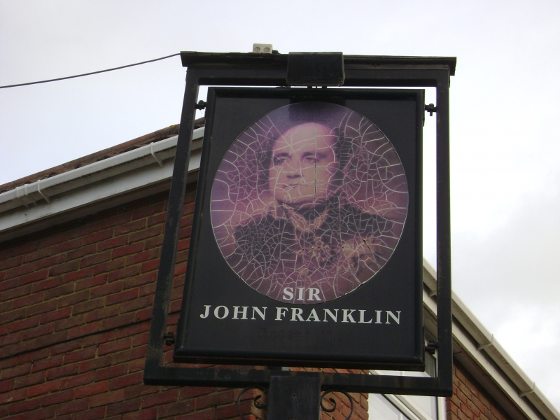
Entry Name: Sir John Franklin
Listing Date: 17 March 1982
Grade: II
Source: Historic England
Source ID: 1085785
English Heritage Legacy ID: 172735
ID on this website: 101085785
Location: Swanscombe, Dartford, Kent, DA9
County: Kent
District: Dartford
Civil Parish: Swanscombe and Greenhithe
Built-Up Area: Swanscombe
Traditional County: Kent
Lieutenancy Area (Ceremonial County): Kent
Church of England Parish: Greenhithe St Mary
Church of England Diocese: Rochester
Tagged with: Pub
This list entry was subject to a Minor Amendment on 23 February 2023 to update the name and address and reformat the text to current standards
TQ 5875 SE
9/98
SWANSCOMBE AND GREENHITHE
Greenhithe
HIGH STREET (north side)
Sir John Franklin
(Formerly listed as The White Hart Public House)
II
Circa 1840 but may incorporate earlier core. Two parallel ranges. The front range is the earliest. Two storeys yellow brick, the front stuccoed. Hipped renewed tiled roof. Four C19 sashes. Later weather porch. Rear range of circa 1800 with mid C19 porch. This range has an early C19 fireplace with wheat drop swags.
Sir John Franklin the explorer spent his last night at here before setting off on 19 June 1845 to find the north-west passage, a trip from which he never returned. In 1661 the Sir John Franklin was connected with a notorious murder of a prince of Transylvania by Isaac Jacob and Camirus Kargagi. They drove from Gads Hill the scene of the crime to the Sir John Franklin, then known as the Kings Head in their master's carriage but were caught here and later hung.
Listing NGR: TQ5863175177
External links are from the relevant listing authority and, where applicable, Wikidata. Wikidata IDs may be related buildings as well as this specific building. If you want to add or update a link, you will need to do so by editing the Wikidata entry.


Other nearby listed buildings
