Latitude: 50.9369 / 50°56'12"N
Longitude: -1.3756 / 1°22'32"W
OS Eastings: 443969
OS Northings: 115454
OS Grid: SU439154
Mapcode National: GBR RVM.CR
Mapcode Global: FRA 860M.MWV
Plus Code: 9C2WWJPF+PQ
Entry Name: Boundary Wall to St Mary's Churchyard on North Side of Churchyard
Listing Date: 8 October 1981
Grade: II
Source: Historic England
Source ID: 1091986
English Heritage Legacy ID: 135960
ID on this website: 101091986
Location: Hampton Park, Southampton, Hampshire, SO18
County: City of Southampton
Electoral Ward/Division: Swaythling
Parish: Non Civil Parish
Built-Up Area: Southampton
Traditional County: Hampshire
Lieutenancy Area (Ceremonial County): Hampshire
Church of England Parish: Swaythling, Southampton St Alban
Church of England Diocese: Winchester
Tagged with: Wall
1. WESSEX LANE 5239 Swaythling Boundary wall to St Mary' s churchyard on north side of churchyard SU 41 NW 7/263
II
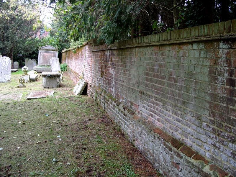
2. Early C18 red brick wall, about 8 feet in height laid in English Bond. Near the base is a half-diaper pattern formed of vitrified headers. Red brick plinth and coping. This wall borders on South Stoneham House and was probably vuilt about the same time circa 1708.
Listing NGR: SU4518915058
External links are from the relevant listing authority and, where applicable, Wikidata. Wikidata IDs may be related buildings as well as this specific building. If you want to add or update a link, you will need to do so by editing the Wikidata entry.


Other nearby listed buildings