Latitude: 51.2686 / 51°16'7"N
Longitude: -1.052 / 1°3'7"W
OS Eastings: 466236
OS Northings: 152590
OS Grid: SU662525
Mapcode National: GBR B6J.JVD
Mapcode Global: VHD08.QC7T
Plus Code: 9C3W7W9X+C6
Entry Name: Basing House Ruins, Including the Old House and the New House
Listing Date: 26 April 1957
Grade: II
Source: Historic England
Source ID: 1092911
English Heritage Legacy ID: 138833
ID on this website: 101092911
Location: Old Basing, Basingstoke and Deane, Hampshire, RG24
County: Hampshire
District: Basingstoke and Deane
Civil Parish: Old Basing and Lychpit
Built-Up Area: Basingstoke
Traditional County: Hampshire
Lieutenancy Area (Ceremonial County): Hampshire
Church of England Parish: Old Basing St Mary
Church of England Diocese: Winchester
Tagged with: Building
SU 6652 OLD BASING BASING HOUSE 6653 22/66 26.4.57 Basing House Ruins, including the Old House and the New House
II
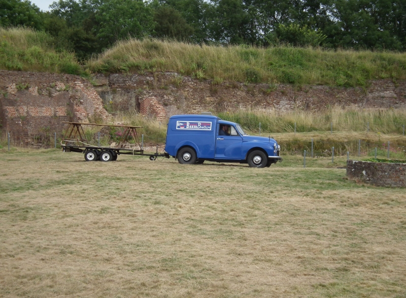
C12, C16. The site includes earthworks of a motte and bailey castle of Norman date, the motte being a large circular area for the accommodation of buildings, surrounded by a raised bank; to the south are outer defence mounds of the C17. After 1531, the motte was completely redeveloped as a large residence (the Old House), the top of the rampart on the outside having a brick wall and the inner side being lined with a series of structures, the central space having a large hall, courts, and other buildings. What survives is a complex of the lower parts of buildings, indicating cellars, kitchens with fireplaces, circular staircases all built of red brick in English bond, with several 4-centred chamfered arched openings. Only a short time later, the New House was built, mainly on the outside and to the north-east of the original castle, in the form of a series of rectangular structures around a central courtyard; what remains are brick footings and a large well, the canal development of the late C18 having cut away the outer parts. The footings of a large gateway mark the entrance to the Old House, the approach being a bridge across the ditch between the original motte and bailey, remaining as a painted brick arch. Throughout the area other base structures lie hidden, including a tunnel from the Keep under the moat, on the west side. This extensive fortified residence served as a strategic defence point during the Civil War, being held for the King in a famous siege which ended in the storming of Basing House by Cromwell in 1645. The area was later "slighted" and not rebuilt, its materials (mainly Tudor bricks) being re-used in the construction of many of the village houses. General protection is now given by the status of Ancient Monument, but the ancilliary structure with substantial survival are treated as separate items.
Listing NGR: SU6613352592
External links are from the relevant listing authority and, where applicable, Wikidata. Wikidata IDs may be related buildings as well as this specific building. If you want to add or update a link, you will need to do so by editing the Wikidata entry.


Other nearby listed buildings