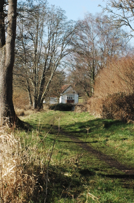
Latitude: 51.1062 / 51°6'22"N
Longitude: -0.8339 / 0°50'1"W
OS Eastings: 481736
OS Northings: 134747
OS Grid: SU817347
Mapcode National: GBR DCF.D12
Mapcode Global: VHDYM.HGJB
Plus Code: 9C3X4548+FC
Entry Name: Hatch Farmhouse and Storehouse Wing
Listing Date: 15 August 1985
Grade: II
Source: Historic England
Source ID: 1093997
English Heritage Legacy ID: 142246
ID on this website: 101093997
Location: Standford, East Hampshire, GU35
County: Hampshire
District: East Hampshire
Civil Parish: Headley
Traditional County: Hampshire
Lieutenancy Area (Ceremonial County): Hampshire
Church of England Parish: Headley All Saints
Church of England Diocese: Guildford
Tagged with: Farmhouse
SU 83 SW HEADLEY STANDFORD Tulls Lane 10/8 Hatch Farmhouse and storehouse wing.
GV II
House, of several phases and different parts. C16 core, with C18 extension, and mid C19 additions. Mixed walling materials, and a tiled roof. A long rectang- ular block, with a short wider taller addition at it south-east corner: the main early C19 front (south-west) of 2 storeys, 3 windows. Roof hipped at the north west side and brought to a low eaves. Roughcast walls, cement plinth, showing doorway filled by a small window. 4 sashes and 3 casements. The Victorian addition has a 2-storeyed bay, where its south-east gable stands forward of the lower gable of the main part. The rear (north-east) side has exposed timber framing, with close-studding, with a tile-hung gable above, some small casements, and a large boarded door in a massive frame. The wing is attached to the house by a flat-roofed passageway, and comprises a long low rectangular block, ending at the south and as a 2-bay cartshed (facing the roadway); tiled roof with hip at the south end, ironstone walls with brick quoins and plinth, timber-framed cartshed opening with arch-braced centre-post.
Listing NGR: SP8215938827
External links are from the relevant listing authority and, where applicable, Wikidata. Wikidata IDs may be related buildings as well as this specific building. If you want to add or update a link, you will need to do so by editing the Wikidata entry.


Other nearby listed buildings