Latitude: 52.0884 / 52°5'18"N
Longitude: -2.4459 / 2°26'45"W
OS Eastings: 369546
OS Northings: 243430
OS Grid: SO695434
Mapcode National: GBR FY.BMWF
Mapcode Global: VH85M.KRBX
Plus Code: 9C4V3HQ3+9M
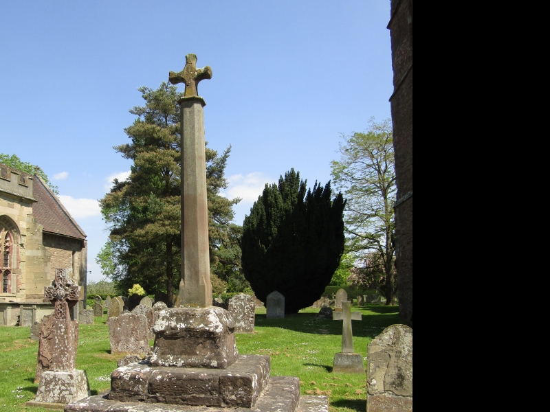
Entry Name: Churchyard Cross Approximately 8 Metres South of South Porch of Church of Holy Trinity
Listing Date: 6 March 1967
Last Amended: 26 March 1986
Grade: II
Source: Historic England
Source ID: 1098891
English Heritage Legacy ID: 153039
ID on this website: 101098891
Location: Holy Trinity Church, Bosbury, County of Herefordshire, HR8
County: County of Herefordshire
Civil Parish: Bosbury
Built-Up Area: Bosbury
Traditional County: Herefordshire
Lieutenancy Area (Ceremonial County): Herefordshire
Church of England Parish: Bosbury
Church of England Diocese: Hereford
BOSBURY CP MAIN STREET (north side) SO 64 SE
6/74 Churchyard cross approximately 8 metres south of south porch 6.3.67 of Church of Holy Trinity (Formerly listed as Churchyard Cross) GV II
Churchyard cross. C15 base, restored shaft, re-set C17, cross head. Sandstone ashlar. Square plan; square moulded base on three steps, square to octagonal sided shaft with cross.
Listing NGR: SO6955043438


Other nearby listed buildings