Latitude: 51.9974 / 51°59'50"N
Longitude: -2.7498 / 2°44'59"W
OS Eastings: 348616
OS Northings: 233484
OS Grid: SO486334
Mapcode National: GBR FJ.JBK6
Mapcode Global: VH861.9243
Plus Code: 9C3VX7W2+X3
Entry Name: Churchyard Cross About 10 Yards South-East of South Porch of the Church of St Michael
Listing Date: 22 October 1986
Grade: II
Source: Historic England
Source ID: 1099703
English Heritage Legacy ID: 155349
ID on this website: 101099703
Location: St Michael's Church, County of Herefordshire, HR2
County: County of Herefordshire
Civil Parish: Dewsall
Traditional County: Herefordshire
Lieutenancy Area (Ceremonial County): Herefordshire
Church of England Parish: Dewsall with Callow
Church of England Diocese: Hereford
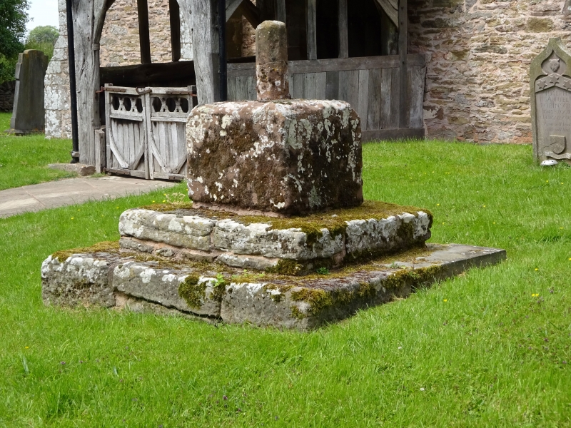
DEWSALL CP - SO 43 SE 6/49 Churchyard cross about 10 yards south-east of south porch of the Church of St Michael GV II
Churchyard cross. Possibly C14. Sandstone. Two square steps to square base which is a cube of about two feet. In the west face of the base is a small round-headed niche. The top has a square socket in which is a loose fitting remnant of an octagonal shaft about two feet long. (RCHM, Vol I, p 53).
Listing NGR: SO4861633484


Other nearby listed buildings