Latitude: 54.5121 / 54°30'43"N
Longitude: -1.35 / 1°20'59"W
OS Eastings: 442182
OS Northings: 513176
OS Grid: NZ421131
Mapcode National: GBR MJ08.J9
Mapcode Global: WHD74.7VD9
Plus Code: 9C6WGM62+V2
Entry Name: 16 and 18, Church Road
Listing Date: 21 June 1985
Grade: II
Source: Historic England
Source ID: 1104935
English Heritage Legacy ID: 59229
ID on this website: 101104935
Location: Yarm, Stockton-on-Tees, North Yorkshire, TS16
County: Stockton-on-Tees
Civil Parish: Egglescliffe
Built-Up Area: Yarm
Traditional County: Durham
Lieutenancy Area (Ceremonial County): County Durham
Church of England Parish: Egglescliffe
Church of England Diocese: Durham
Tagged with: Building
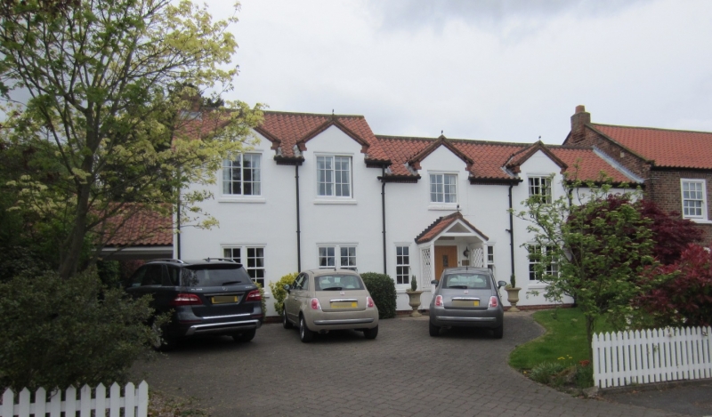
NZ 4213 EGGLESCLIFFE CHURCH ROAD
(North side)
34/467 Nos 16 and 18
GV II
Late C17 or early C18 altered. One storey and attic, two bays in all. Rendered
walls. Large modern dormers in pantiled roof with central ridge stack. Old
brick visible in gable end. Modern doors and windows.
Listing NGR: NZ4218413176
External links are from the relevant listing authority and, where applicable, Wikidata. Wikidata IDs may be related buildings as well as this specific building. If you want to add or update a link, you will need to do so by editing the Wikidata entry.


Other nearby listed buildings