Latitude: 51.0394 / 51°2'21"N
Longitude: 0.5332 / 0°31'59"E
OS Eastings: 577691
OS Northings: 129724
OS Grid: TQ776297
Mapcode National: GBR PTY.PMN
Mapcode Global: FRA D60C.MJN
Plus Code: 9F322GQM+Q7
Entry Name: Charlwood
Listing Date: 22 June 1989
Grade: II
Source: Historic England
Source ID: 1106300
English Heritage Legacy ID: 169641
ID on this website: 101106300
Location: Four Throws, Tunbridge Wells, Kent, TN18
County: Kent
District: Tunbridge Wells
Civil Parish: Hawkhurst
Built-Up Area: Four Throws
Traditional County: Kent
Lieutenancy Area (Ceremonial County): Kent
Tagged with: Building
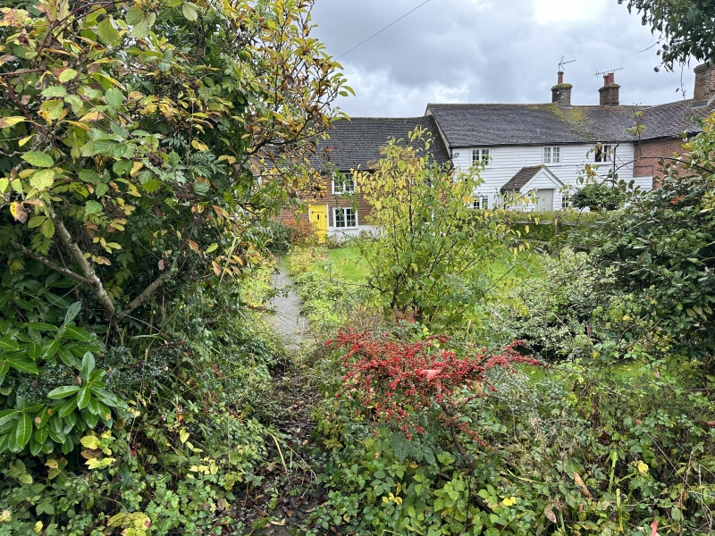
HAWKHURST CONGHURST LANE
TQ 72 NE (east side)
12/291 Charlwood
GV II
House. C18. Timber framed and tile hung on red brick base with plain tiled
roof. Two storeys with stack projecting at end left. Three 2-light wooden case-
ments on each floor, with C20 rib and stud door to centre left. Part of a cottage
row with Hunters Cottages (see item 12/292).
Listing NGR: TQ7699328208
External links are from the relevant listing authority and, where applicable, Wikidata. Wikidata IDs may be related buildings as well as this specific building. If you want to add or update a link, you will need to do so by editing the Wikidata entry.


Other nearby listed buildings