Latitude: 50.4504 / 50°27'1"N
Longitude: -3.6935 / 3°41'36"W
OS Eastings: 279862
OS Northings: 62538
OS Grid: SX798625
Mapcode National: GBR QL.L4SK
Mapcode Global: FRA 374V.YNZ
Plus Code: 9C2RF824+4H
Entry Name: Gardener's Bothy About 110 Metres South of Dartington Hall
Listing Date: 26 April 1993
Grade: II
Source: Historic England
Source ID: 1108360
English Heritage Legacy ID: 101048
ID on this website: 101108360
Location: South Hams, Devon, TQ9
County: Devon
District: South Hams
Civil Parish: Dartington
Traditional County: Devon
Lieutenancy Area (Ceremonial County): Devon
Church of England Parish: Dartington St Mary
Church of England Diocese: Exeter
Tagged with: Building Thatched cottage
DARTINGTON SX7962 DARTINGTON BALL 12/487 Gardeners' Bothy about 110 metres south of Dartington Hall
GV II
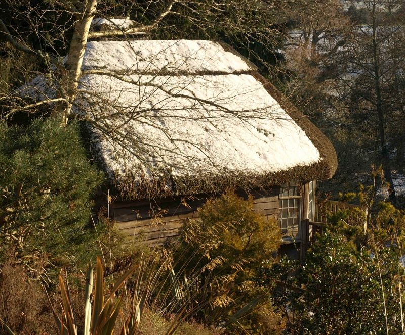
Gardener's bothy. 1929 By Rex Gardner for Dartington Hall. Weatherboarded and stone rubble. Thatched roof, semi-conical at front. Large stone rubble lateral stack on right hand side. Plan: rectangular plan with canted front with balcony. Built into bank with terrace in front overlooking garden. Exterior: 2 storey. Canted south front with timber corner posts and large glazed French casements with leaded panes. Balcony on first floor with simple wooden balustrade, supported on large curved braces springing from the posts. Side walls are blind. Interior: not inspected. Note: The bothy was originally used for the Nursery School before Aller Park School (qv) was completed. Source: V Bonham-Carter. Dartington Hall 1925-56 (Dartington Hall archive)
Listing NGR: SX7986162567
External links are from the relevant listing authority and, where applicable, Wikidata. Wikidata IDs may be related buildings as well as this specific building. If you want to add or update a link, you will need to do so by editing the Wikidata entry.


Other nearby listed buildings