Approximate Location Map
Large Map »
Latitude: 50.7156 / 50°42'56"N
Longitude: -2.4362 / 2°26'10"W
OS Eastings: 369303
OS Northings: 90753
OS Grid: SY693907
Mapcode National: GBR PY.RG5W
Mapcode Global: FRA 57S6.2Q2
Plus Code: 9C2VPH87+6G
Entry Name: 29, High East Street
Listing Date: 8 May 1975
Grade: II
Source: Historic England
Source ID: 1110586
English Heritage Legacy ID: 104327
ID on this website: 101110586
Location: Dorchester, Dorset, DT1
County: Dorset
Civil Parish: Dorchester
Built-Up Area: Dorchester
Traditional County: Dorset
Lieutenancy Area (Ceremonial County): Dorset
Church of England Parish: Dorchester and West Stafford
Church of England Diocese: Salisbury
Tagged with: Building
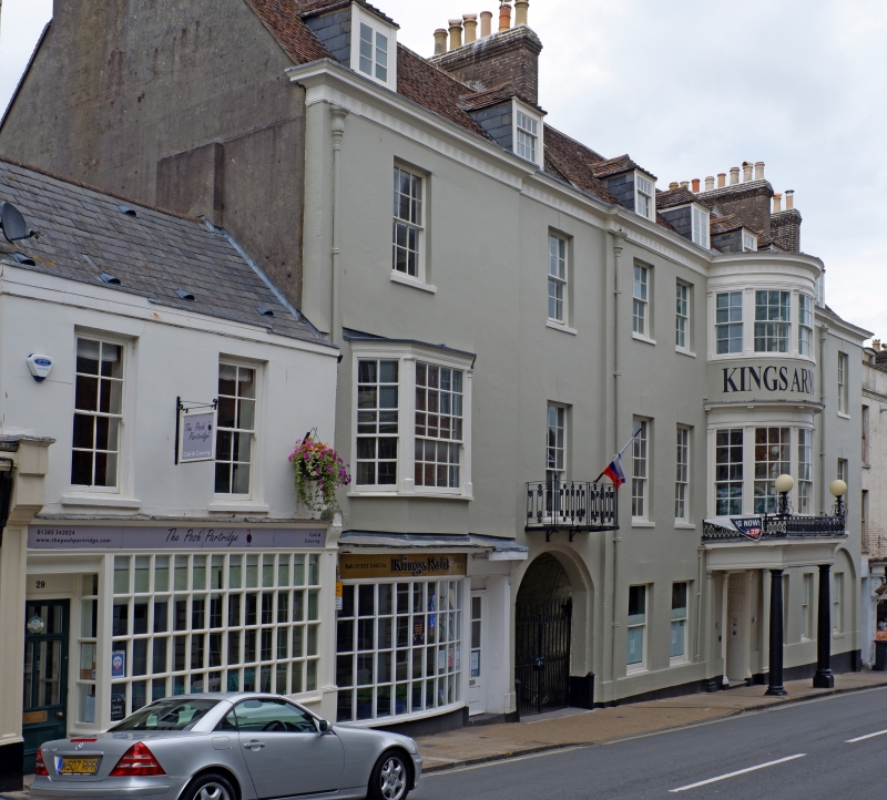
HIGH EAST STREET
1.
5l91
(North Side)
No 29
SY 6990 7/229
II GV
2.
C16/C17. Refronted in early Cl9. Stucco front over part timber-frame. 2
storeys. 2 sash windows with glazing bars. Mid C19 shopfront. Interior has
1 ceiling beam with hollow chamfer.
The Municipal Buildings and Nos 28 to 33 (consec) form a group.
Listing NGR: SY6930390752
External links are from the relevant listing authority and, where applicable, Wikidata. Wikidata IDs may be related buildings as well as this specific building. If you want to add or update a link, you will need to do so by editing the Wikidata entry.


Other nearby listed buildings
