Latitude: 50.7156 / 50°42'56"N
Longitude: -2.4365 / 2°26'11"W
OS Eastings: 369282
OS Northings: 90759
OS Grid: SY692907
Mapcode National: GBR PY.RG3N
Mapcode Global: FRA 57S6.2LR
Plus Code: 9C2VPH87+7C
Entry Name: Municipal Buildings
Listing Date: 8 May 1975
Grade: II*
Source: Historic England
Source ID: 1110585
English Heritage Legacy ID: 104325
ID on this website: 101110585
Location: Dorchester, Dorset, DT1
County: Dorset
Civil Parish: Dorchester
Built-Up Area: Dorchester
Traditional County: Dorset
Lieutenancy Area (Ceremonial County): Dorset
Church of England Parish: Dorchester and West Stafford
Church of England Diocese: Salisbury
Tagged with: Building
HIGH STREET EAST
1.
5191 (North Side)
SY 6990 7/228 Municipal Buildings
II
GV
This property shall be upgraded to grade II*
------------------------------------
HIGH EAST STREET
1.
5191
(North Side)
Municipal Buildings
SY 6990 7/228
II GV
2.
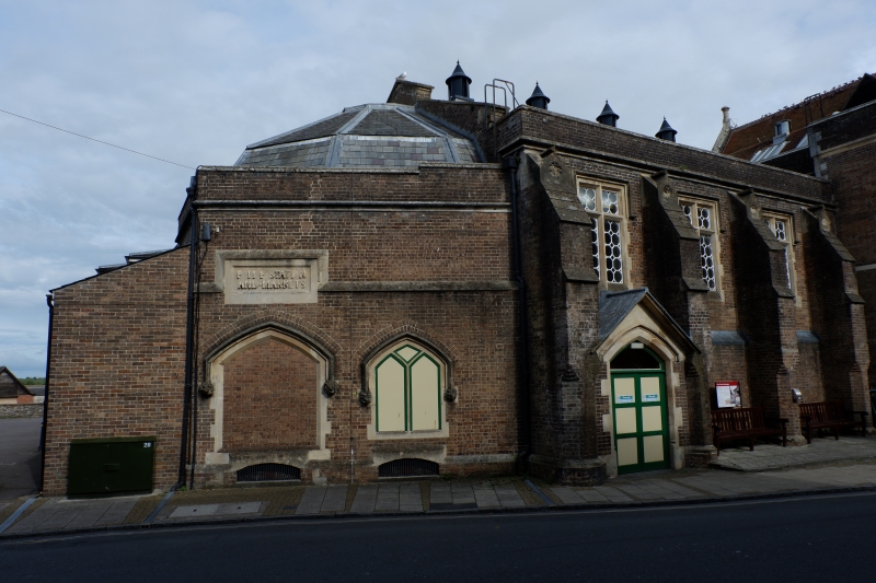
l847-8. Clock tower: l864 (at which time the original lantern on roof was removed).
Portal: 1876. Architect: Benjamin Ferrey. Builder: Samuel Slade. Former Town
Hall. Broadmayne brick, with ashlar limestone dressings (Bath above, Portland
below). Pitched tile roof with moulded ashlar gable coping and polygonal finials.
Moulded ashlar eaves cornice with crenellated parapet. 5 mullion and transom
windows with iron glazing bars on 1st floor. 4 pointed arches with hoodmoulds
on ground floor, originally an open market, now glazed. Central gabled portal
on colonettes with crocketed capitals, carrying relief of Borough Arms.
South west corner has oriel turret with chamfered corners taken on polygonal
clasping buttress and squinches with traceried panels: band of traceried panelling
at eaves Level: corbelled-out bulge at clocks' level: lead spire with sprocketed
eaves, half- hipped lucarnes and weather vane.
West elevation has 2 arches at ground floor level, and segmental 2 storey oriel
above with crenellated parapet, panelled centre section and fixed windows with
glazing bars.
2 storey extension in similar style to rear.
Its neo-Tudor detail and (especially on west front) its predominant verticals
resemble Clyffe Hall, Tincleton, more than Ferrey's other work in Dorset.
The Municipal Buildings and Nos 28 to 33 (consec) form a group.
Listing NGR: SY6928290759
External links are from the relevant listing authority and, where applicable, Wikidata. Wikidata IDs may be related buildings as well as this specific building. If you want to add or update a link, you will need to do so by editing the Wikidata entry.


Other nearby listed buildings