Latitude: 51.9334 / 51°56'0"N
Longitude: -0.5904 / 0°35'25"W
OS Eastings: 497011
OS Northings: 227042
OS Grid: SP970270
Mapcode National: GBR F30.MLG
Mapcode Global: VHFR4.QN7P
Plus Code: 9C3XWCM5+9R
Entry Name: King's Arms Farmhouse
Listing Date: 26 September 1980
Grade: II
Source: Historic England
Source ID: 1114695
English Heritage Legacy ID: 35989
ID on this website: 101114695
Location: Church End, Central Bedfordshire, LU7
County: Central Bedfordshire
Civil Parish: Hockliffe
Built-Up Area: Hockliffe
Traditional County: Bedfordshire
Lieutenancy Area (Ceremonial County): Bedfordshire
Church of England Parish: Hockliffe
Church of England Diocese: St.Albans
Tagged with: Farmhouse
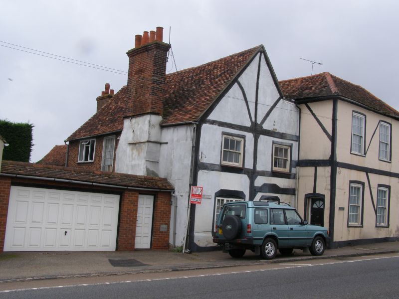
1.
5125
SP 9727
11/60
HOCKLIFFE
WATLING ELEVATION
(south-west side)
King's Arms Farmhouse
II
2.
C17/C18. Red stretchers and grey headers, with stucco front elevation. Two storeys.
Old clay tile roof, hipped to right, slightly recessed gable to left. 2:2 sashes
with glazing bars. Heavy projecting stack to south elevation.
Listing NGR: SP9701127042
External links are from the relevant listing authority and, where applicable, Wikidata. Wikidata IDs may be related buildings as well as this specific building. If you want to add or update a link, you will need to do so by editing the Wikidata entry.


Other nearby listed buildings