Approximate Location Map
Large Map »
Latitude: 51.9496 / 51°56'58"N
Longitude: -0.5322 / 0°31'55"W
OS Eastings: 500976
OS Northings: 228918
OS Grid: TL009289
Mapcode National: GBR G46.Q8J
Mapcode Global: VHFR5.Q8J8
Plus Code: 9C3XWFX9+R4
Entry Name: Town Hall
Listing Date: 9 January 1970
Grade: II
Source: Historic England
Source ID: 1114752
English Heritage Legacy ID: 36123
ID on this website: 101114752
Location: Toddington, Central Bedfordshire, LU5
County: Central Bedfordshire
Civil Parish: Toddington
Built-Up Area: Toddington
Traditional County: Bedfordshire
Lieutenancy Area (Ceremonial County): Bedfordshire
Church of England Parish: Toddington
Church of England Diocese: St.Albans
Tagged with: City hall Seat of local government
1.
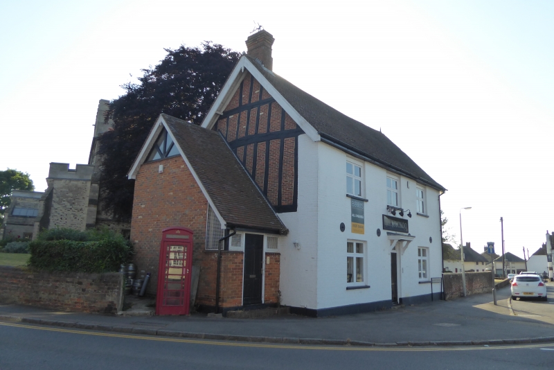
5125 TODDINGTON MARKET SQUARE
(north side)
Town Hall
TL 0028 20/334 9.1.70
II
2.
C15 origin with later alterations. Timber-frame with red brick nogging. Facade
of whitewashed brick. Two storeys. Tile roof. Three casements with glazing
bars.
Listing NGR: TL0097628918
External links are from the relevant listing authority and, where applicable, Wikidata. Wikidata IDs may be related buildings as well as this specific building. If you want to add or update a link, you will need to do so by editing the Wikidata entry.


Other nearby listed buildings
