Approximate Location Map
Large Map »
Latitude: 51.9524 / 51°57'8"N
Longitude: -0.5365 / 0°32'11"W
OS Eastings: 500676
OS Northings: 229219
OS Grid: TL006292
Mapcode National: GBR G46.H6G
Mapcode Global: VHFR5.N684
Plus Code: 9C3XXF27+WC
Entry Name: Foxon House
Listing Date: 26 September 1980
Grade: II
Source: Historic England
Source ID: 1114758
English Heritage Legacy ID: 36142
ID on this website: 101114758
Location: Toddington, Central Bedfordshire, LU5
County: Central Bedfordshire
Civil Parish: Toddington
Built-Up Area: Toddington
Traditional County: Bedfordshire
Lieutenancy Area (Ceremonial County): Bedfordshire
Church of England Parish: Toddington
Church of England Diocese: St.Albans
Tagged with: House
1.
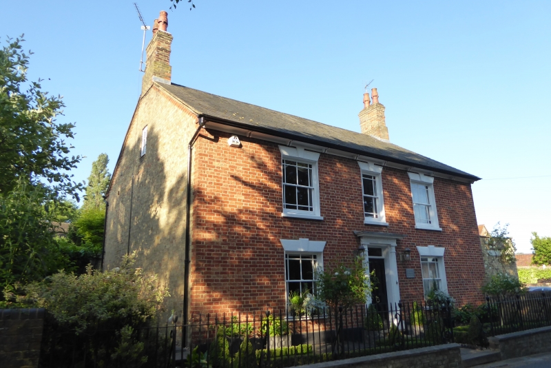
5125 TODDINGTON PARK ROAD
(south side)
Foxon House
TL 0029 18/354
II
2.
Mid C19. Colourwashed brick. Two storeys. Welsh slate roof. Paired bracketed
eaves. Three sash windows with marginal glazing bars. Door surround of Boric
pilasters, cornice and dentil frieze.
Listing NGR: TL0067629219
External links are from the relevant listing authority and, where applicable, Wikidata. Wikidata IDs may be related buildings as well as this specific building. If you want to add or update a link, you will need to do so by editing the Wikidata entry.


Other nearby listed buildings
