Latitude: 52.0685 / 52°4'6"N
Longitude: -2.0268 / 2°1'36"W
OS Eastings: 398260
OS Northings: 241128
OS Grid: SO982411
Mapcode National: GBR 2K8.BDK
Mapcode Global: VHB0Y.T8CM
Plus Code: 9C4V3X9F+C7
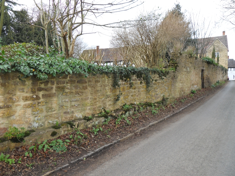
Entry Name: Wall at the Old College
Listing Date: 3 August 1972
Last Amended: 11 December 1973
Grade: II
Source: Historic England
Source ID: 1116614
English Heritage Legacy ID: 443024
ID on this website: 101116614
Location: Elmley Castle, Wychavon, Worcestershire, WR10
County: Worcestershire
District: Wychavon
Civil Parish: Elmley Castle
Built-Up Area: Elmley Castle
Traditional County: Worcestershire
Lieutenancy Area (Ceremonial County): Worcestershire
Church of England Parish: Elmley Castle with Netherton, Bricklehampton, Gt Combrton and Lt Comberton
Church of England Diocese: Worcester
Tagged with: Wall
. ZLJ,iLZ?r CASTLE ZLlilLiY CASTLE lo o '230i + Main Street ' (East Side) ) Wall at the Old Cottage so 9841 24/395 II Qv. 2. Stone rubble wall at rear of the Old Cottage. Group valued All the listed buildin(s ml in S.ire [,jast Siie)__[ojula vroup+ The Old Cottage shall be amended to read: The Old dollege: and the descriptive notes amended accordingly.
------------------------------------
ELMLEY CASTLE ELMLEY CASTLE 1. 2301 Main Street (East Side) Wall at the Old Cottage SO 9841 24/395 II GV
2. Stone rubble wall at rear of the Old Cottage. Group value.
All the listed buildings in Main Street (East Side) form a group.
The Old Cottage shall be amended to read:
The Old Cottage: and the descriptive notes amended accordingly.
Listing NGR: SO9826041128
External links are from the relevant listing authority and, where applicable, Wikidata. Wikidata IDs may be related buildings as well as this specific building. If you want to add or update a link, you will need to do so by editing the Wikidata entry.


Other nearby listed buildings