Approximate Location Map
Large Map »
Latitude: 52.1781 / 52°10'41"N
Longitude: -2.1168 / 2°7'0"W
OS Eastings: 392110
OS Northings: 253319
OS Grid: SO921533
Mapcode National: GBR 1GG.KLT
Mapcode Global: VH92W.8J94
Plus Code: 9C4V5VHM+67
Entry Name: Upper Townsend Farmhouse
Listing Date: 3 August 1972
Grade: II
Source: Historic England
Source ID: 1116920
English Heritage Legacy ID: 442616
ID on this website: 101116920
Location: Churchill, Wychavon, Worcestershire, WR7
County: Worcestershire
District: Wychavon
Civil Parish: Churchill
Traditional County: Worcestershire
Lieutenancy Area (Ceremonial County): Worcestershire
Church of England Parish: White Ladies Aston with Churchill and Spetchley
Church of England Diocese: Worcester
Tagged with: Farmhouse
CHURCHILL CHURCHILL
1.
2301
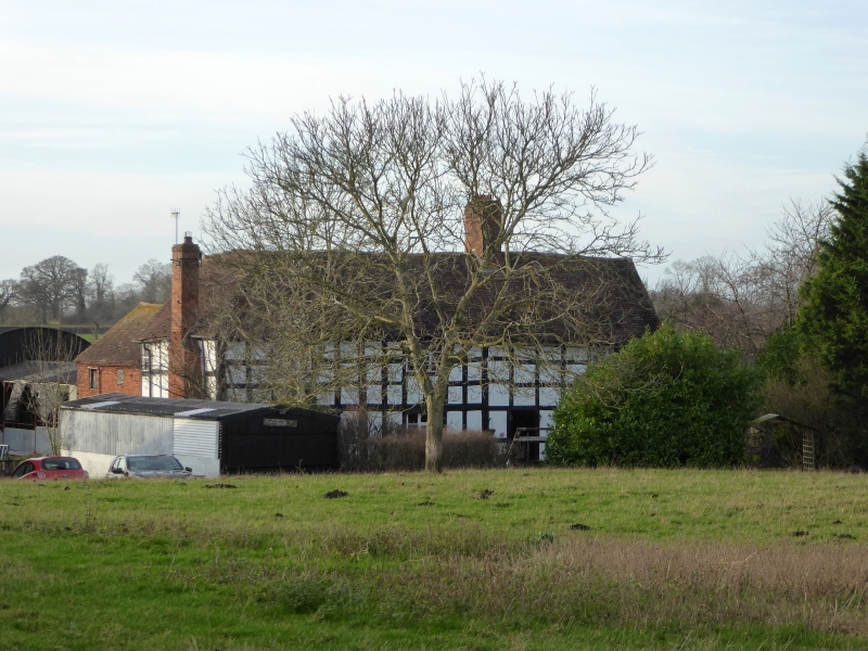
Upper Townsend Farmhouse
SO 95 SW 5/206
II
2.
Cl6/17. Timber frame and brick with tiled roof with gabled ends. Gable
facing rear. 2-storeys. Casements.
Listing NGR: SO9211053319
External links are from the relevant listing authority and, where applicable, Wikidata. Wikidata IDs may be related buildings as well as this specific building. If you want to add or update a link, you will need to do so by editing the Wikidata entry.


Other nearby listed buildings
