Approximate Location Map
Large Map »
Latitude: 51.5723 / 51°34'20"N
Longitude: -0.7803 / 0°46'49"W
OS Eastings: 484624
OS Northings: 186636
OS Grid: SU846866
Mapcode National: GBR D5W.7KH
Mapcode Global: VHDWB.FRB2
Plus Code: 9C3XH6C9+WV
Entry Name: Garden Wall at Oxford Cottage
Listing Date: 31 January 1974
Grade: II
Source: Historic England
Source ID: 1125076
English Heritage Legacy ID: 46245
ID on this website: 101125076
Location: Marlow, Buckinghamshire, SL7
County: Buckinghamshire
Civil Parish: Marlow
Built-Up Area: Marlow
Traditional County: Buckinghamshire
Lieutenancy Area (Ceremonial County): Buckinghamshire
Church of England Parish: Great Marlow with Marlow Bottom, Little Marlow and Bisham
Church of England Diocese: Oxford
Tagged with: Wall
1. OXFORD ROAD
1385
(West Side)
Garden wall at
Oxford Cottage
SU 8486 2/37A
SU 8486 2/37A
II
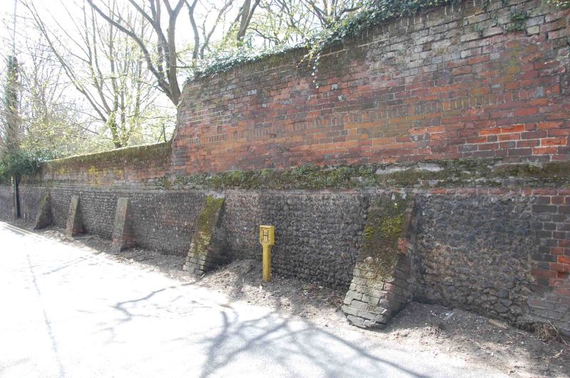
2.
There is a brick and flint wall to the south along Oxford Road. Approximately
7 to 8 ft high.
Listing NGR: SU8462486636
External links are from the relevant listing authority and, where applicable, Wikidata. Wikidata IDs may be related buildings as well as this specific building. If you want to add or update a link, you will need to do so by editing the Wikidata entry.


Other nearby listed buildings
