Approximate Location Map
Large Map »
Latitude: 52.6133 / 52°36'47"N
Longitude: -0.2734 / 0°16'24"W
OS Eastings: 517003
OS Northings: 303119
OS Grid: TF170031
Mapcode National: GBR GXY.3PP
Mapcode Global: WHHNB.SK0Z
Plus Code: 9C4XJP7G+8M
Entry Name: Church View House
Listing Date: 7 May 1973
Grade: II
Source: Historic England
Source ID: 1126885
English Heritage Legacy ID: 49754
ID on this website: 101126885
Location: Peterborough, Cambridgeshire, PE4
County: City of Peterborough
Electoral Ward/Division: Werrington
Parish: Non Civil Parish
Built-Up Area: Peterborough
Traditional County: Northamptonshire
Lieutenancy Area (Ceremonial County): Cambridgeshire
Church of England Parish: Werrington St John the Baptist with Emmanuel
Church of England Diocese: Peterborough
Tagged with: House
1. WERRINGTON
1500 CHURCH STREET
(South Side)
Church View House
TF 1603 19/341
TF 1703 19/341
II GV
2.
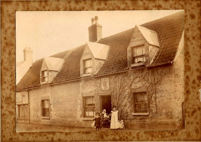
C18, but refronted 1885. L-shaped building in painted rubble. 3 gabled
dormers, Welsh slate roofs, Cl9. 3 windows, flat stone lintels, no glazing
bars. Rusticated architraves. Plinth. Windows to rear have wood, lintels
Church View House and Farm at rear form a group.
Listing NGR: TF1700303119
External links are from the relevant listing authority and, where applicable, Wikidata. Wikidata IDs may be related buildings as well as this specific building. If you want to add or update a link, you will need to do so by editing the Wikidata entry.


Other nearby listed buildings
