Latitude: 51.5712 / 51°34'16"N
Longitude: -2.4035 / 2°24'12"W
OS Eastings: 372134
OS Northings: 185888
OS Grid: ST721858
Mapcode National: GBR JZ.DB4M
Mapcode Global: VH95M.9R7X
Plus Code: 9C3VHHCW+FJ
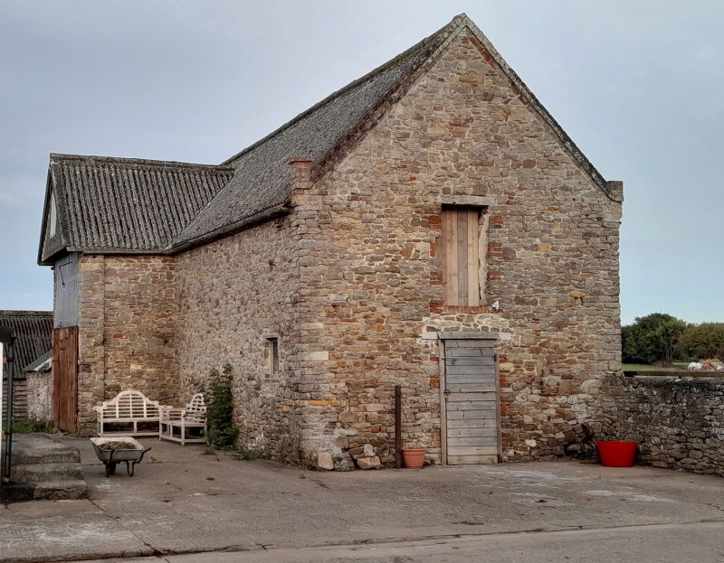
Entry Name: Barn, 15 Yards to South West of Oxwick Farmhouse
Listing Date: 5 June 1984
Grade: II
Source: Historic England
Source ID: 1128771
English Heritage Legacy ID: 34884
ID on this website: 101128771
Location: South Gloucestershire, BS37
County: South Gloucestershire
Civil Parish: Wickwar
Traditional County: Gloucestershire
Lieutenancy Area (Ceremonial County): Gloucestershire
Church of England Parish: Wickwar Holy Trinity
Church of England Diocese: Gloucester
Tagged with: Barn
ST 78 NW YATE OXWICK LANE (north side)
4/250 Barn, 15 yards to south west of Oxwick Farmhouse G.V. II
Farmhouse. Circa 1722. Rubble with brick dressings; corrugated iron roof. Opposed entries with hipped and gabled roofs. Coped gables with brick kneelers. 7 bay tie and collar beam trusses.
Listing NGR: ST7213485888
External links are from the relevant listing authority and, where applicable, Wikidata. Wikidata IDs may be related buildings as well as this specific building. If you want to add or update a link, you will need to do so by editing the Wikidata entry.


Other nearby listed buildings