Approximate Location Map
Large Map »
Latitude: 51.6058 / 51°36'20"N
Longitude: -2.5264 / 2°31'34"W
OS Eastings: 363643
OS Northings: 189790
OS Grid: ST636897
Mapcode National: GBR JT.B36W
Mapcode Global: VH87X.5W8W
Plus Code: 9C3VJF4F+8F
Entry Name: 79 and 81, High Street
Listing Date: 17 December 1984
Grade: II
Source: Historic England
Source ID: 1128799
English Heritage Legacy ID: 34949
ID on this website: 101128799
Location: Thornbury, South Gloucestershire, BS35
County: South Gloucestershire
Civil Parish: Thornbury
Built-Up Area: Thornbury
Traditional County: Gloucestershire
Lieutenancy Area (Ceremonial County): Gloucestershire
Church of England Parish: Thornbury St Mary
Church of England Diocese: Gloucester
Tagged with: Building
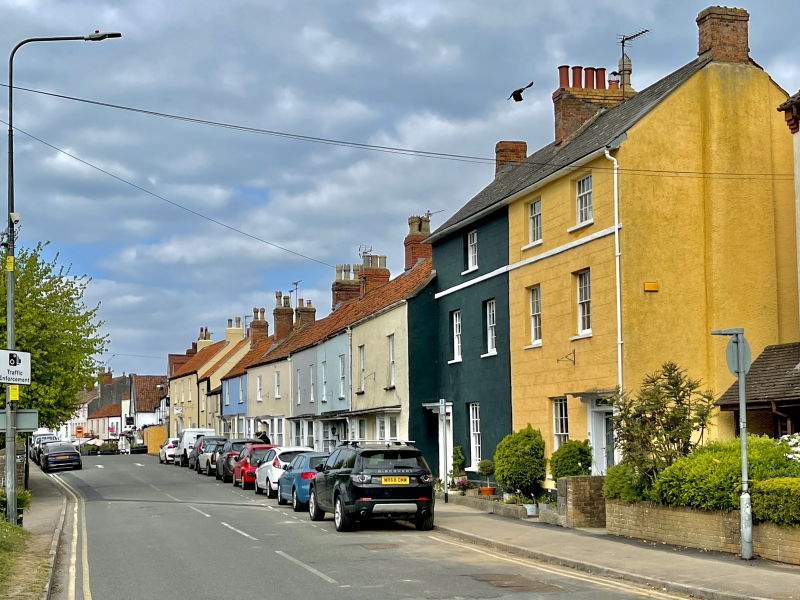
THORNBURY HIGH STREET
5/46
(east side)
ST 6389
Nos 79 and 81
GV
II
Late C18/early C19. Render lined out as ashlar. Slate roof. Brick stacks.
Three storeys. Two windows to each house, 16-pane glazing bar sashes. Plat
band between first and second floor 6-panel doors with lattice overlights,
under flat hood on brackets.
Listing NGR: ST6364389790
External links are from the relevant listing authority and, where applicable, Wikidata. Wikidata IDs may be related buildings as well as this specific building. If you want to add or update a link, you will need to do so by editing the Wikidata entry.


Other nearby listed buildings
