Approximate Location Map
Large Map »
Latitude: 51.537 / 51°32'13"N
Longitude: -2.3903 / 2°23'24"W
OS Eastings: 373028
OS Northings: 182084
OS Grid: ST730820
Mapcode National: GBR 0NJ.NHC
Mapcode Global: VH95T.JM7L
Plus Code: 9C3VGJP5+RV
Entry Name: 62, Horse Street
Listing Date: 29 July 1983
Grade: II
Source: Historic England
Source ID: 1129286
English Heritage Legacy ID: 34158
ID on this website: 101129286
Location: Chipping Sodbury, South Gloucestershire, BS37
County: South Gloucestershire
Civil Parish: Sodbury
Built-Up Area: Chipping Sodbury
Traditional County: Gloucestershire
Lieutenancy Area (Ceremonial County): Gloucestershire
Church of England Parish: Chipping Sodbury St John the Baptist
Church of England Diocese: Gloucester
Tagged with: Building
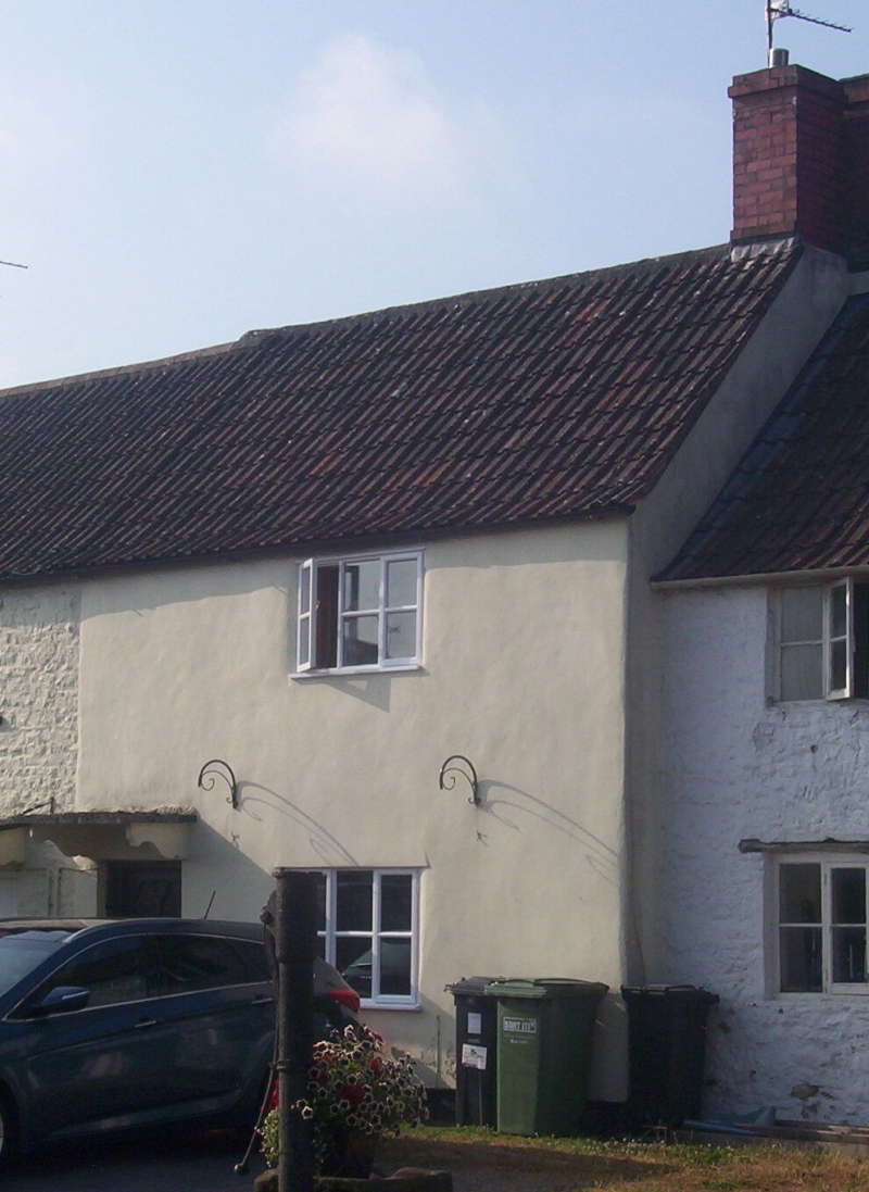
ST 7382 SODBURY HORSE STREET
3/109 (south side)
No 62
GV
II
Late C18. Rendered, modern tiled roof. Two storeys. One window; 3-light casement.
Flat stone hood on narrow carved brackets over C20 door.
Listing NGR: ST7302882084
External links are from the relevant listing authority and, where applicable, Wikidata. Wikidata IDs may be related buildings as well as this specific building. If you want to add or update a link, you will need to do so by editing the Wikidata entry.


Other nearby listed buildings
