Latitude: 51.3138 / 51°18'49"N
Longitude: -2.8401 / 2°50'24"W
OS Eastings: 341541
OS Northings: 157525
OS Grid: ST415575
Mapcode National: GBR JD.XG99
Mapcode Global: VH7CT.Q7DN
Plus Code: 9C3V8575+GW
Entry Name: Nut Tree Farmhouse
Listing Date: 21 April 1983
Grade: II
Source: Historic England
Source ID: 1129757
English Heritage Legacy ID: 33278
ID on this website: 101129757
Location: Winscombe, North Somerset, BS25
County: North Somerset
Civil Parish: Winscombe and Sandford
Built-Up Area: Winscombe
Traditional County: Somerset
Lieutenancy Area (Ceremonial County): Somerset
Tagged with: Farmhouse
ST 45 NW WINSCOMBE CHURCH ROAD Woodborough 3/10 Nut Tree Farmhouse
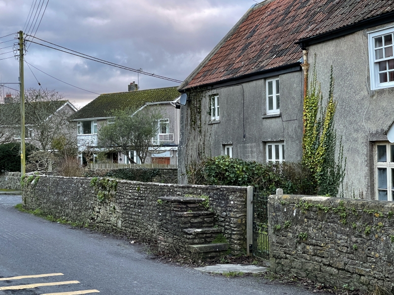
II Farmhouse. C.17, altered C.19 and C.20. Rendered, double Roman pantiles brick stacks. Original two room cross passage much extended. 2 storeys under roof of two heights. Taller section has 3 windows. Ground floor has C.20 3-light case- ments and C.19 gabled porches. One good 6 panel door. First floor has 16-light glazing bar sashes in revealed boxes. Further two bays to south-east under lower eaves have irregularly placed casements. Large gabled 2 storey rear extension has all modern windows. Ground floor has (blocked) cross passage and deep stop chamfered beams.
Listing NGR: ST4154157525
External links are from the relevant listing authority and, where applicable, Wikidata. Wikidata IDs may be related buildings as well as this specific building. If you want to add or update a link, you will need to do so by editing the Wikidata entry.


Other nearby listed buildings