Latitude: 54.1429 / 54°8'34"N
Longitude: -2.1083 / 2°6'29"W
OS Eastings: 393020
OS Northings: 471906
OS Grid: SD930719
Mapcode National: GBR FNQJ.BM
Mapcode Global: WHB6F.L478
Plus Code: 9C6V4VVR+5M
Entry Name: Mill Gate
Listing Date: 20 February 1958
Last Amended: 4 May 1989
Grade: II
Source: Historic England
Source ID: 1132209
English Heritage Legacy ID: 324614
ID on this website: 101132209
Location: Arncliffe, North Yorkshire, BD23
County: North Yorkshire
District: Craven
Civil Parish: Arncliffe
Traditional County: Yorkshire
Lieutenancy Area (Ceremonial County): North Yorkshire
Tagged with: Gate
This list entry was subject to a Minor Amendment on 26 January 2024 to remove superfluous source details from the text and to reformat the text to current standards.
SD 9271-9371
22/27
ARNCLIFFE
VILLAGE GREEN (west side off)
Mill Gate
(formerly listed as The Weigh-Bridge or The Gatehouse)
20.2.58
GV
II
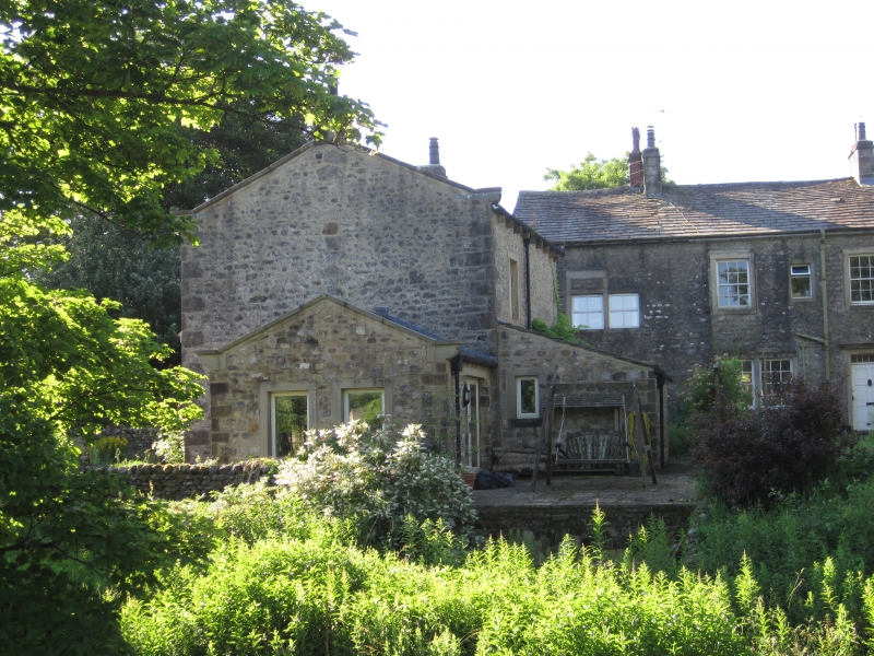
Former mill weighing house, now house. C18. Rendered rubble, graduated stone slate roof. Two storeys, two bays. Quoins. A tall narrow building with blocked cart arch to front and rear. The round arch is quoined and has dressed voussoirs. Inserted C20 door with overlight. Rectangular window with slight stone surround to each floor of right bay; window above cart entrance possibly inserted. Gutter brackets. Shaped kneelers, Gable copings. End stacks. The arch may have been blocked when the associated mill was converted from corn grinding to cotton spinning c1820, because the change made redundant the building's former function of recording the corn brought by each farmer for grinding. Included for group value.
Listing NGR: SD9302071906
This list entry was subject to a Minor Amendment on 26 January 2024 to remove superfluous source details from the text and to reformat the text to current standards.
SD 9271-9371
22/27
ARNCLIFFE
VILLAGE GREEN (west side off)
Mill Gate
(formerly listed as The Weigh-Bridge or The Gatehouse)
20.2.58
GV
II
Former mill weighing house, now house. C18. Rendered rubble, graduated stone slate roof. Two storeys, two bays. Quoins. A tall narrow building with blocked cart arch to front and rear. The round arch is quoined and has dressed voussoirs. Inserted C20 door with overlight. Rectangular window with slight stone surround to each floor of right bay; window above cart entrance possibly inserted. Gutter brackets. Shaped kneelers, Gable copings. End stacks. The arch may have been blocked when the associated mill was converted from corn grinding to cotton spinning c1820, because the change made redundant the building's former function of recording the corn brought by each farmer for grinding. Included for group value.
Listing NGR: SD9302071906
External links are from the relevant listing authority and, where applicable, Wikidata. Wikidata IDs may be related buildings as well as this specific building. If you want to add or update a link, you will need to do so by editing the Wikidata entry.


Other nearby listed buildings