Latitude: 53.4558 / 53°27'20"N
Longitude: -1.347 / 1°20'49"W
OS Eastings: 443458
OS Northings: 395649
OS Grid: SK434956
Mapcode National: GBR MX1G.5X
Mapcode Global: WHDDC.8DTK
Plus Code: 9C5WFM43+86
Entry Name: Pumping House at Ncb Mines Drainage Unit
Listing Date: 21 August 1985
Grade: II
Source: Historic England
Source ID: 1132777
English Heritage Legacy ID: 335531
ID on this website: 101132777
Location: Rawmarsh, Rotherham, South Yorkshire, S62
County: Rotherham
Electoral Ward/Division: Rawmarsh
Parish: Non Civil Parish
Built-Up Area: Rawmarsh
Traditional County: Yorkshire
Lieutenancy Area (Ceremonial County): South Yorkshire
Church of England Parish: Rawmarsh with Parkgate
Church of England Diocese: Sheffield
Tagged with: Pump
SK49NW RAWMARSH WESTFIELD ROAD
(west side)
5/22 Pumping house at
NCB Mines
Drainage Unit
II
Pumping house now housing electrical apparatus. Dated 1823 although
tower may be earlier, later additions. Coursed, dressed sandstone,
Welsh slate roof. Rectangular tower with lean-to and workshop buildings
to right return. Roadside elevation: 2-storey tower and lean-to,
single-storey workshop buildings. Extra storey to rear with fall of
land. Tower: gabled entrance front has renewed glazed door in round-
arched opening with date boldly inscribed, off-centre, on voussoirs.
Continuous impost band. To 1st floor: iron casement with glazing bars
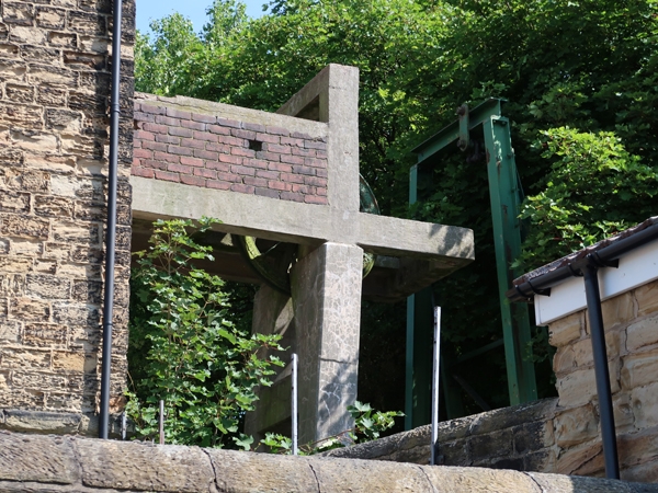
within round-arched opening now partly obscured by brick and concrete
gantry attached to front of building. Lean-to set back to right has
a casement with glazing bars to each floor. Low workshop buildings
to right preserve remains of 2 infilled round archways, the right arch
truncated to right by a short gabled projection of later construction,
2-window section to far right also of later build. Rear: similar round-
arched openings to tower, sills altered.
Interior: original pumping machinery removed. C20 workshop buildings
attached to rear right not of special interest. Formed part of the
Fitzwilliam mining enterprises in the area.
Listing NGR: SK4345895649
External links are from the relevant listing authority and, where applicable, Wikidata. Wikidata IDs may be related buildings as well as this specific building. If you want to add or update a link, you will need to do so by editing the Wikidata entry.


Other nearby listed buildings