Approximate Location Map
Large Map »
Latitude: 53.632 / 53°37'55"N
Longitude: -1.768 / 1°46'4"W
OS Eastings: 415436
OS Northings: 415074
OS Grid: SE154150
Mapcode National: GBR JV3F.0S
Mapcode Global: WHCB1.TZ81
Plus Code: 9C5WJ6JJ+QQ
Entry Name: 167 and 169, Longley
Listing Date: 18 July 1975
Grade: II
Source: Historic England
Source ID: 1134963
English Heritage Legacy ID: 340150
ID on this website: 101134963
Location: Longley, Kirklees, West Yorkshire, HD5
County: Kirklees
Electoral Ward/Division: Newsome
Parish: Non Civil Parish
Built-Up Area: Huddersfield
Traditional County: Yorkshire
Lieutenancy Area (Ceremonial County): West Yorkshire
Church of England Parish: Almondbury with Farnley Tyas Team Parish
Church of England Diocese: Leeds
Tagged with: Building
LONGLEY
1.
5113
Nos 167 and 169
SE 1515 39/829 18.7.75.
II GV
2.
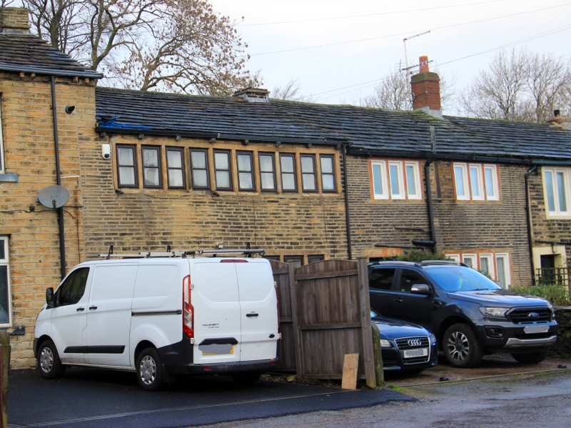
C18. Hammer-dressed stone. Pitched stone slate roof. 2 storeys. 1st floor
has one 4-light and two 2-light stone mullioned windows with intervening lights
blocked. Ground floor has one 4-light, and one 2-light stone mullioned window.
Listing NGR: SE1543615074
External links are from the relevant listing authority and, where applicable, Wikidata. Wikidata IDs may be related buildings as well as this specific building. If you want to add or update a link, you will need to do so by editing the Wikidata entry.


Other nearby listed buildings
