Latitude: 53.9045 / 53°54'16"N
Longitude: -1.6933 / 1°41'35"W
OS Eastings: 420245
OS Northings: 445419
OS Grid: SE202454
Mapcode National: GBR JRM9.62
Mapcode Global: WHC8X.Y4T1
Plus Code: 9C5WW834+RM
Entry Name: 12, Mercury Row
Listing Date: 8 July 1974
Grade: II
Source: Historic England
Source ID: 1135219
English Heritage Legacy ID: 341487
ID on this website: 101135219
Location: Otley, Leeds, West Yorkshire, LS21
County: Leeds
Civil Parish: Otley
Built-Up Area: Otley
Traditional County: Yorkshire
Lieutenancy Area (Ceremonial County): West Yorkshire
Church of England Parish: Otley All Saints
Church of England Diocese: Leeds
Tagged with: Building
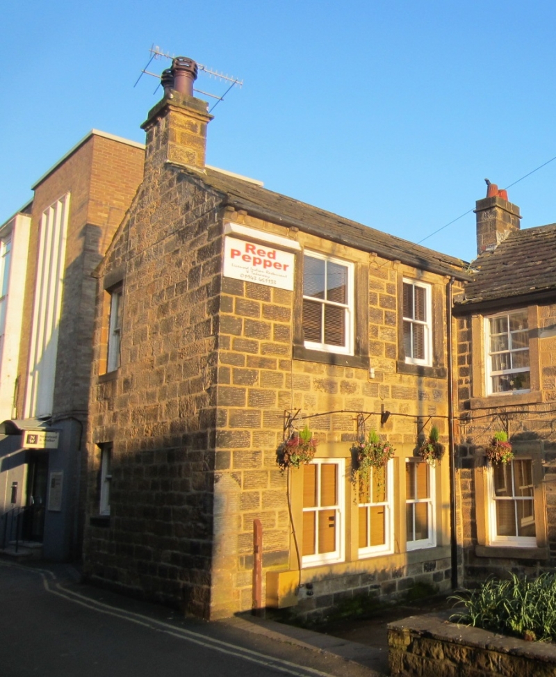
Mercury Row
1
1480
(North Side)
No 12
SE 2045 1/226
II GV
2.
C18 or early C19. 2 storeys in stone. Stone slate roof. 2 windows,
stone architraves. chamfered reveals, glazing bars. Door and narrow light
to right in similar architrave.
No 12 forms a gorup with Nos 27 and 29 New Market.
Listing NGR: SE2024845423
External links are from the relevant listing authority and, where applicable, Wikidata. Wikidata IDs may be related buildings as well as this specific building. If you want to add or update a link, you will need to do so by editing the Wikidata entry.


Other nearby listed buildings