Latitude: 50.1289 / 50°7'43"N
Longitude: -5.5632 / 5°33'47"W
OS Eastings: 145439
OS Northings: 31503
OS Grid: SW454315
Mapcode National: GBR DXNB.LL8
Mapcode Global: VH05H.J1B1
Plus Code: 9C2P4CHP+HP
Entry Name: Cross at SW 454315 Near Lower Landithy
Listing Date: 7 September 1988
Grade: II
Source: Historic England
Source ID: 1136710
English Heritage Legacy ID: 70423
ID on this website: 101136710
Location: Madron, Cornwall, TR20
County: Cornwall
Civil Parish: Madron
Built-Up Area: Penzance
Traditional County: Cornwall
Lieutenancy Area (Ceremonial County): Cornwall
Church of England Parish: Madron
Church of England Diocese: Truro
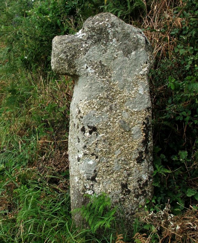
MADRON SW 43 SE 7/78 Cross at SW 454315 (near Lower - Landithy) known as Boscathno Cross II Wayside preaching cross. Medieval. Roughly hewn granite monolith in the shape of a Latin cross. Head of cross and one arm mostly missing.
Listing NGR: SW4543931502


Other nearby listed buildings