Latitude: 50.2147 / 50°12'52"N
Longitude: -5.4809 / 5°28'51"W
OS Eastings: 151765
OS Northings: 40761
OS Grid: SW517407
Mapcode National: GBR DXV3.N8B
Mapcode Global: VH12D.YVBT
Plus Code: 9C2P6G79+VM
Entry Name: 15, Virgin Street
Listing Date: 22 December 1972
Grade: II
Source: Historic England
Source ID: 1137002
English Heritage Legacy ID: 69139
ID on this website: 101137002
Location: St Ives, Cornwall, TR26
County: Cornwall
Civil Parish: St. Ives
Built-Up Area: St Ives
Traditional County: Cornwall
Lieutenancy Area (Ceremonial County): Cornwall
Church of England Parish: St Ives
Church of England Diocese: Truro
Tagged with: Building
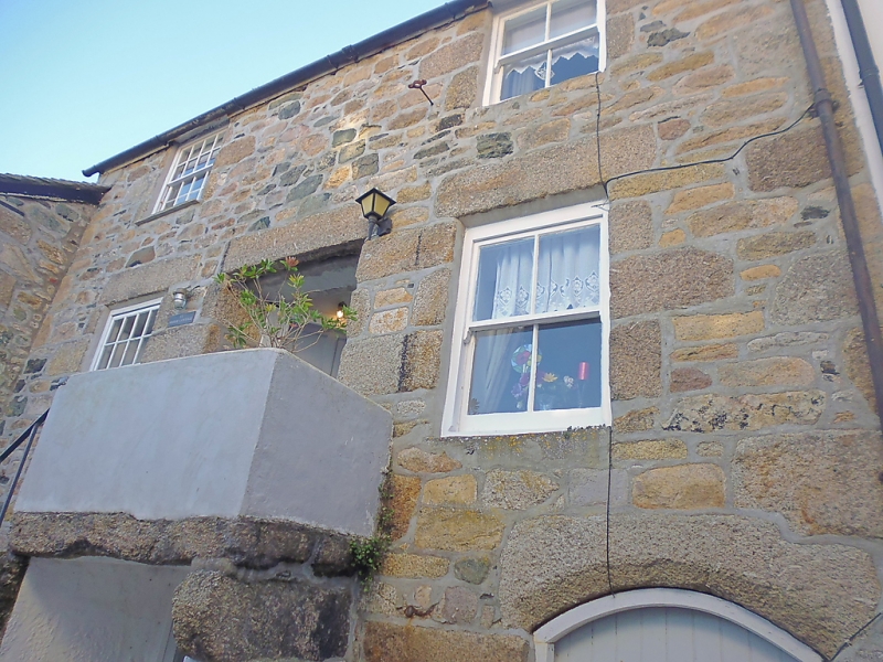
VIRGIN STREET
1. (South-West Side)
1587 ------------------
No 15
SW 54 SW 1/169
II GV
2.
Early C19. Granite rubble. Three storeys. Two windows, those on left.
have glazing bars. Steps with railings up to first floor doors which are
set back under one granite lintel. Segmental, arch doorway to ground floor
store, New tile roof with gable ends, Group value.
All the listed buildings in Virgin Street form a group.
Listing NGR: SW5176540761
External links are from the relevant listing authority and, where applicable, Wikidata. Wikidata IDs may be related buildings as well as this specific building. If you want to add or update a link, you will need to do so by editing the Wikidata entry.


Other nearby listed buildings