Latitude: 50.0661 / 50°3'57"N
Longitude: -5.5884 / 5°35'18"W
OS Eastings: 143297
OS Northings: 24608
OS Grid: SW432246
Mapcode National: GBR DXLH.T48
Mapcode Global: VH05P.2LZQ
Plus Code: 9C2P3C86+CJ
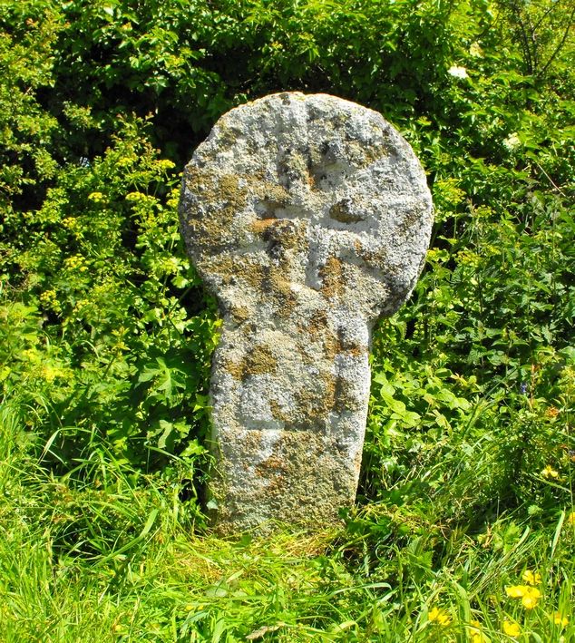
Entry Name: Cross at SW433246 (Nun Careg Cross)
Listing Date: 15 December 1988
Grade: II
Source: Historic England
Source ID: 1137189
English Heritage Legacy ID: 69603
ID on this website: 101137189
Location: Cornwall, TR19
County: Cornwall
Civil Parish: St. Buryan
Traditional County: Cornwall
Lieutenancy Area (Ceremonial County): Cornwall
Church of England Parish: St Buryan
Church of England Diocese: Truro
ST BURYAN SW 42 SW 8/45 (AM No 308) Cross at SW433246 - (Nûn Careg Cross) II
Cross. Pre-Conquest. Dressed granite monolith with wheel-head. No base visible.One face has a small Greek cross in relief over a U-shaped channel; the opposite face has a larger cross patee, both are carved in relief. Source: Crosses of West Cornwall by Laura Rowe. Scheduled Ancient Monument.
Listing NGR: SW4329724608


Other nearby listed buildings