Latitude: 51.9612 / 51°57'40"N
Longitude: -0.4918 / 0°29'30"W
OS Eastings: 503725
OS Northings: 230266
OS Grid: TL037302
Mapcode National: GBR G48.2G8
Mapcode Global: VHFR0.FYCX
Plus Code: 9C3XXG65+F7
Entry Name: 55, Sundon Road
Listing Date: 3 May 1985
Grade: II
Source: Historic England
Source ID: 1137770
English Heritage Legacy ID: 38033
ID on this website: 101137770
Location: Harlington, Central Bedfordshire, LU5
County: Central Bedfordshire
Civil Parish: Harlington
Built-Up Area: Harlington
Traditional County: Bedfordshire
Lieutenancy Area (Ceremonial County): Bedfordshire
Church of England Parish: Harlington
Church of England Diocese: St.Albans
Tagged with: Building
HARLINGTON
TL 0230 SUNDON ROAD
(East Side)
22/46 No. 55
GV II
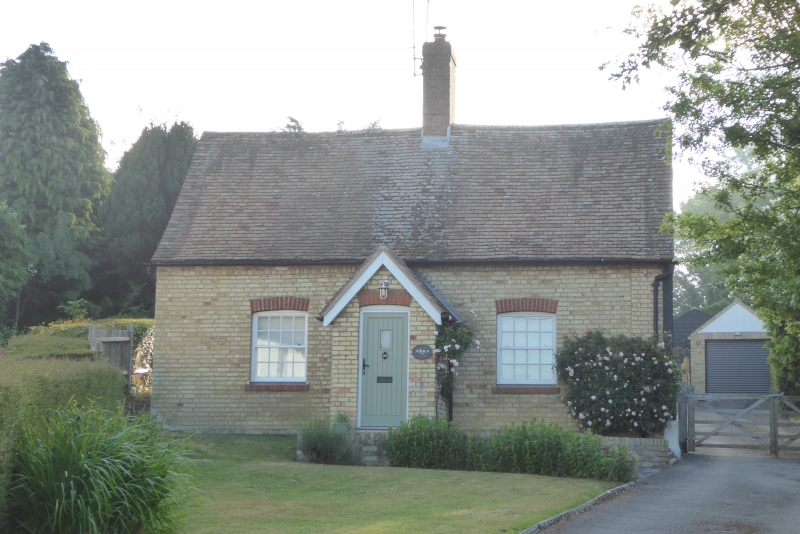
House. Circa 1700. Colourwashed brick, probably encasing timber framing.
Clay tile roof. 2-room plan, one storey and attics. 2 sash windows with
glazing bars, flanking front door up flight of steps. In line with doorway is
red brick double ridge stack. C19 gabled addition to rear.
Listing NGR: TL0372530266
External links are from the relevant listing authority and, where applicable, Wikidata. Wikidata IDs may be related buildings as well as this specific building. If you want to add or update a link, you will need to do so by editing the Wikidata entry.


Other nearby listed buildings