Approximate Location Map
Large Map »
Latitude: 50.1917 / 50°11'29"N
Longitude: -5.5671 / 5°34'1"W
OS Eastings: 145495
OS Northings: 38494
OS Grid: SW454384
Mapcode National: GBR DXM5.JT6
Mapcode Global: VH053.GF8X
Plus Code: 9C2P5CRM+M5
Entry Name: Churchyard Walls North, West and South of Church of St Sennar
Listing Date: 7 September 1988
Grade: II
Source: Historic England
Source ID: 1137967
English Heritage Legacy ID: 70656
ID on this website: 101137967
Location: Zennor, Cornwall, TR26
County: Cornwall
Civil Parish: Zennor
Traditional County: Cornwall
Lieutenancy Area (Ceremonial County): Cornwall
Church of England Parish: Zennor
Church of England Diocese: Truro
Tagged with: Churchyard wall
ZENNOR ZENNOR
SW 43 NE
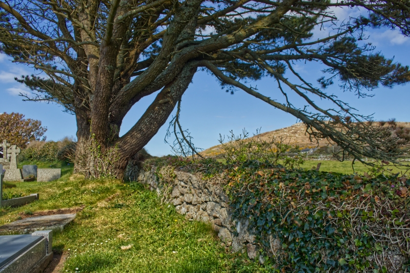
4/337 Churchyard walls north, west and
- south of Church of St Sennar
GV II
Churchyard walls. Circa early C19. Granite rubble, dressed granite and some granite
copings.
Listing NGR: SW4549338494
External links are from the relevant listing authority and, where applicable, Wikidata. Wikidata IDs may be related buildings as well as this specific building. If you want to add or update a link, you will need to do so by editing the Wikidata entry.


Other nearby listed buildings
