Latitude: 53.2813 / 53°16'52"N
Longitude: -2.827 / 2°49'37"W
OS Eastings: 344954
OS Northings: 376358
OS Grid: SJ449763
Mapcode National: GBR 8ZPH.RG
Mapcode Global: WH87W.KS0B
Plus Code: 9C5V75JF+G5
Entry Name: Churchyard Wall at St James' Church
Listing Date: 21 February 1983
Grade: II
Source: Historic England
Source ID: 1138813
English Heritage Legacy ID: 56307
ID on this website: 101138813
Location: Ince, Cheshire West and Chester, Cheshire, CH2
County: Cheshire West and Chester
Civil Parish: Ince
Traditional County: Cheshire
Lieutenancy Area (Ceremonial County): Cheshire
Church of England Parish: Thornton-le-Moors with Ince and Elton
Church of England Diocese: Chester
Tagged with: Churchyard wall
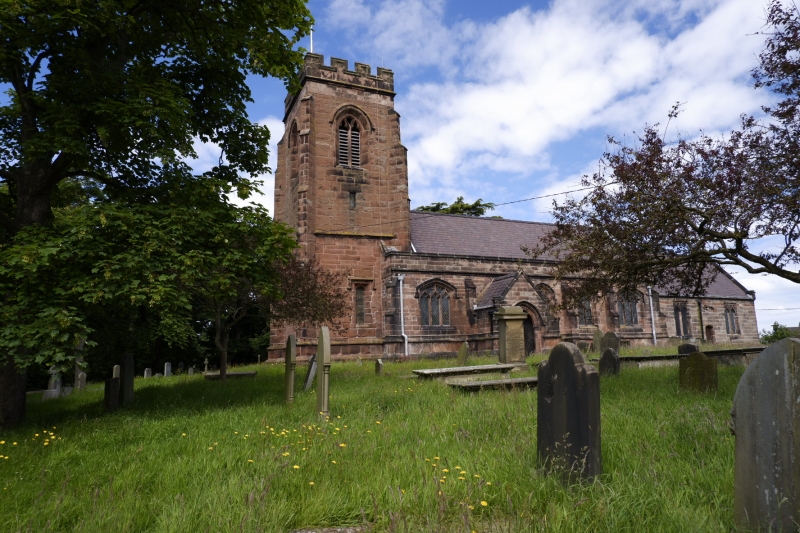
ELLESMERE PORT & NESTON POOL LANE SJ 4476 8/45 Churchyard Wall. at St James' Church 21.2.83 GV II Late C19 squared, coursed, tooled sandstone wall to churchyard with 2-course weathered coping with roll-moulded top. Pair of square sandstone gateposts with recessed cusped panels to front and weathered octagonal finials. A second pair of gateposts to south west.
Listing NGR: SJ4495476358
External links are from the relevant listing authority and, where applicable, Wikidata. Wikidata IDs may be related buildings as well as this specific building. If you want to add or update a link, you will need to do so by editing the Wikidata entry.


Other nearby listed buildings