Latitude: 53.2729 / 53°16'22"N
Longitude: -2.1555 / 2°9'19"W
OS Eastings: 389725
OS Northings: 375110
OS Grid: SJ897751
Mapcode National: GBR FZDL.4G
Mapcode Global: WHBBG.VZRT
Plus Code: 9C5V7RFV+5Q
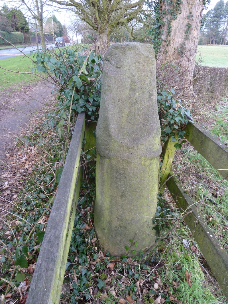
Entry Name: Cross on Parish Boundary 145 Metres South East of Junction with Macclesfield Road
Listing Date: 6 July 1984
Grade: II
Source: Historic England
Source ID: 1139575
English Heritage Legacy ID: 58366
ID on this website: 101139575
Location: Cheshire East, Cheshire, SK10
County: Cheshire East
Civil Parish: Macclesfield
Built-Up Area: Macclesfield
Traditional County: Cheshire
Lieutenancy Area (Ceremonial County): Cheshire
Church of England Parish: Prestbury St Peter
Church of England Diocese: Chester
SJ 87 NE PRESTBURY C.P. PRESTBURY ROAD (North Side)
5/200 Cross on parish boundary 145m S.E. of junction with Macclesfield Road.
II
Pre-conquest cross: probably Cll but moved slightly when road widened c.1935. Buff sandstone. 'Cross stands c. 1.3m high and has a tapering circular shaft with a raised band just above half way. Above this 4 faces have been cut which may have traces of carving. The top is broken off. See Trans.Lancs & Ches.Art.Soc. Vol. 56 p.119. Part of this cross is in the former Macclesfield Urban District.
Listing NGR: SJ8972575110


Other nearby listed buildings