Approximate Location Map
Large Map »
Latitude: 50.1907 / 50°11'26"N
Longitude: -5.4625 / 5°27'45"W
OS Eastings: 152949
OS Northings: 38034
OS Grid: SW529380
Mapcode National: GBR DXW5.QN5
Mapcode Global: VH12M.8GJP
Plus Code: 9C2P5GRP+7X
Entry Name: Boskelly
Listing Date: 22 December 1972
Grade: II
Source: Historic England
Source ID: 1143330
English Heritage Legacy ID: 69075
ID on this website: 101143330
Location: Longstone, Cornwall, TR26
County: Cornwall
Civil Parish: St. Ives
Built-Up Area: St Ives
Traditional County: Cornwall
Lieutenancy Area (Ceremonial County): Cornwall
Church of England Parish: Carbis Bay
Church of England Diocese: Truro
Tagged with: Building
This list entry was subject to a Minor Amendment on 24/08/2012
1587
SW 53 NW 5/196
TRENCROM LANE
CARBIS BAY
Boskelly
(Formerly listed as Boskerris Vean, Porthrepta Road)
II
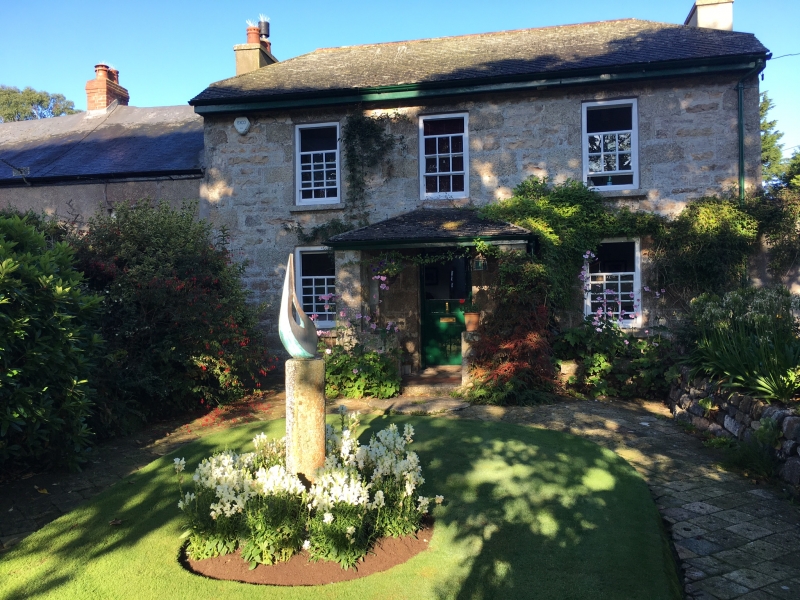
Late C18 house. Dressed granite. Two storeys, Three sash windows with, glazing bars. Central glazed door with rectangular fanlight, enclosed by slate roof porch. Half-hipped roof of slurried slates.
Listing NGR: SW5294938034
External links are from the relevant listing authority and, where applicable, Wikidata. Wikidata IDs may be related buildings as well as this specific building. If you want to add or update a link, you will need to do so by editing the Wikidata entry.


Other nearby listed buildings
