Latitude: 50.0911 / 50°5'27"N
Longitude: -5.6366 / 5°38'11"W
OS Eastings: 139986
OS Northings: 27557
OS Grid: SW399275
Mapcode National: GBR DXGF.WF1
Mapcode Global: VH05G.8Z01
Plus Code: 9C2P39R7+C9
Entry Name: Trevorgans Cross
Listing Date: 15 December 1988
Grade: II
Source: Historic England
Source ID: 1143904
English Heritage Legacy ID: 69627
ID on this website: 101143904
Location: Crows-an-wra, Cornwall, TR19
County: Cornwall
Civil Parish: St. Buryan
Traditional County: Cornwall
Lieutenancy Area (Ceremonial County): Cornwall
Church of England Parish: St Buryan
Church of England Diocese: Truro
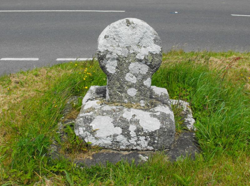
ST BURYAN SW 32 NE 4/71 Trevorgans Cross - GV II Cross. Pre-Conquest cross on circa late C19 or early C20 base. Short dressed granite monolith with wheel-head. Rectangular-on-plan shaft of cross is set into a square stepped base of rock-faced granite. Cross has crucifixion to one face and flared Latin cross to the other face, all carved in relief. Scheduled Ancient Monument 101.
Listing NGR: SW3998627557


Other nearby listed buildings