Latitude: 54.9449 / 54°56'41"N
Longitude: -3.2078 / 3°12'28"W
OS Eastings: 322727
OS Northings: 561808
OS Grid: NY227618
Mapcode National: GBR 6C18.95
Mapcode Global: WH6YF.PZN1
Plus Code: 9C6RWQVR+XV
Entry Name: Bowness Hall
Listing Date: 8 November 1984
Grade: II
Source: Historic England
Source ID: 1144657
English Heritage Legacy ID: 71887
ID on this website: 101144657
Location: Bowness-on-Solway, Cumberland, Cumbria, CA7
County: Cumberland
District: Allerdale
Civil Parish: Bowness
Traditional County: Cumberland
Lieutenancy Area (Ceremonial County): Cumbria
Church of England Parish: Bowness-on-Solway St Michael
Church of England Diocese: Carlisle
Tagged with: House
NY 26 SW BOWNESS
2/9 Bowness Hall
II
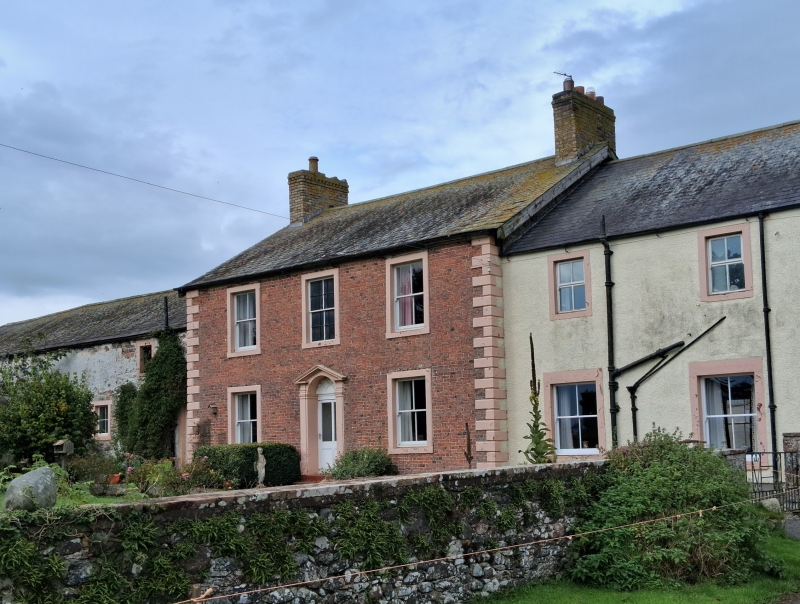
Farmhouse. Early C19. Flemish bond brickwork on chamfered plinth with painted V-jointed quoins; graduated greenslate roof, yellow brick chimney stacks. 2 storeys, 3 bays. C20 door in pilastered doorcase with open-pedimented cornice. 2-pane sash windows in painted stone surrounds. Extension to right and outbuildings to left are not of interest.
Listing NGR: NY2272761808
External links are from the relevant listing authority and, where applicable, Wikidata. Wikidata IDs may be related buildings as well as this specific building. If you want to add or update a link, you will need to do so by editing the Wikidata entry.


Other nearby listed buildings