Latitude: 54.3219 / 54°19'18"N
Longitude: -2.7454 / 2°44'43"W
OS Eastings: 351615
OS Northings: 492066
OS Grid: SD516920
Mapcode National: GBR 9L8G.FH
Mapcode Global: WH82W.SMWN
Plus Code: 9C6V87C3+PV
Entry Name: 74, Kirkland
Listing Date: 30 January 1985
Grade: II
Source: Historic England
Source ID: 1145689
English Heritage Legacy ID: 75427
ID on this website: 101145689
Location: Kirkbarrow, Westmorland and Furness, Cumbria, LA9
County: Westmorland and Furness
District: South Lakeland
Civil Parish: Kendal
Built-Up Area: Kendal
Traditional County: Westmorland
Lieutenancy Area (Ceremonial County): Cumbria
Church of England Parish: Kendal Holy Trinity
Church of England Diocese: Carlisle
Tagged with: Building
SD 5192 SE KENDAL KIRKLAND (West side)
11/86 No 74
II
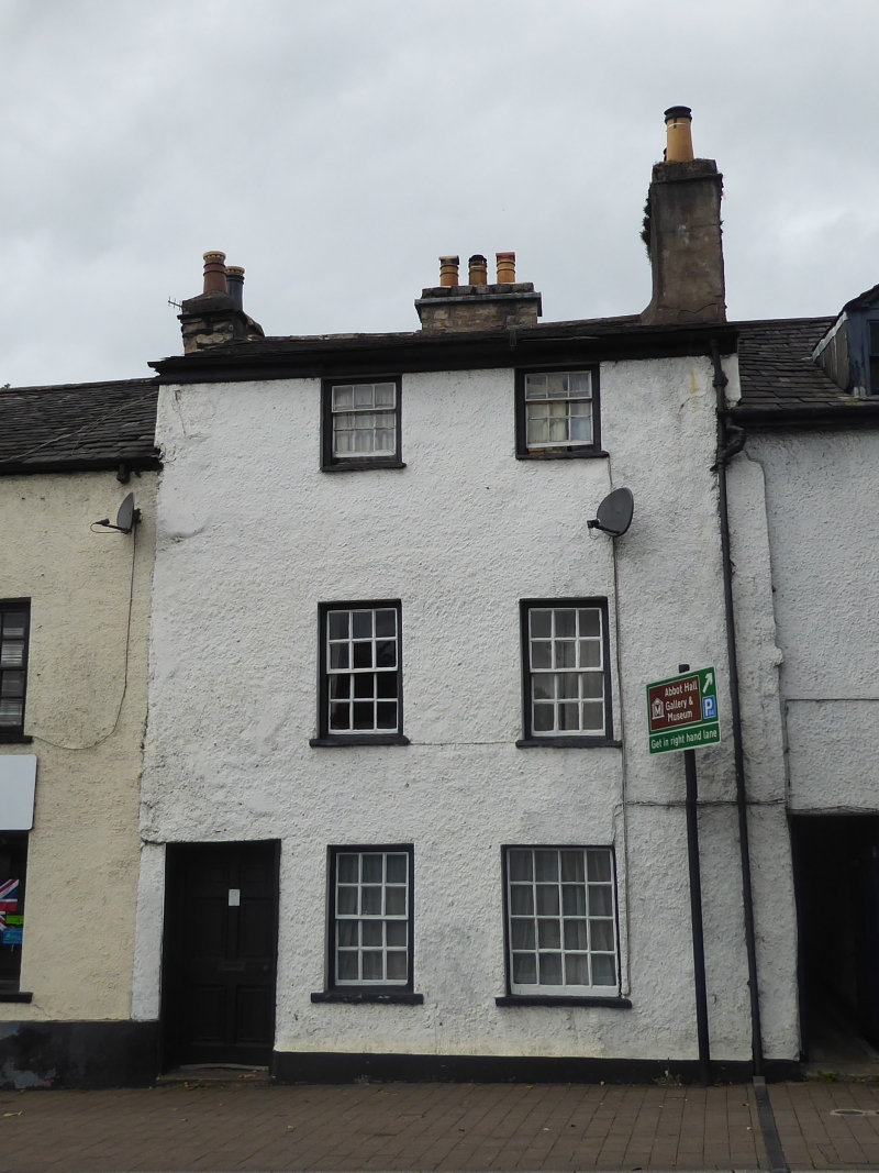
House, C18. Pebble-dashed rubble with plinth. Graduated slate roof; rendered chimney to north end, stone to rear. 3 storeys; 2 bays with panelled door to left. 2 windows to each floor, all sashes except ground floor left (larger and fixed); 2nd floor sashes shorter. All windows retain original glazing bars.
Listing NGR: SD5161592066
External links are from the relevant listing authority and, where applicable, Wikidata. Wikidata IDs may be related buildings as well as this specific building. If you want to add or update a link, you will need to do so by editing the Wikidata entry.


Other nearby listed buildings