Latitude: 54.2022 / 54°12'7"N
Longitude: -2.5971 / 2°35'49"W
OS Eastings: 361145
OS Northings: 478660
OS Grid: SD611786
Mapcode National: GBR BM9V.JD
Mapcode Global: WH94P.2MKW
Plus Code: 9C6V6C23+V5
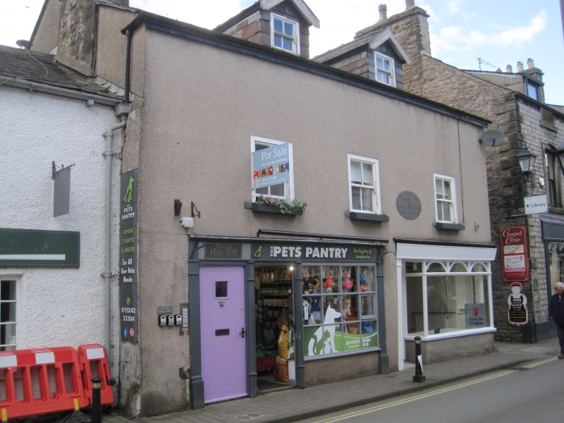
Entry Name: 36A, Main Street
Listing Date: 22 March 1983
Grade: II
Source: Historic England
Source ID: 1145786
English Heritage Legacy ID: 75175
ID on this website: 101145786
Location: Kirkby Lonsdale, Westmorland and Furness, Cumbria, LA6
County: Westmorland and Furness
District: South Lakeland
Civil Parish: Kirkby Lonsdale
Built-Up Area: Kirkby Lonsdale
Traditional County: Westmorland
Lieutenancy Area (Ceremonial County): Cumbria
Church of England Parish: Kirkby Lonsdale Team Ministry
Church of England Diocese: Carlisle
Tagged with: Building
MAIN STREET
1.
(west side)
No 36A
SD 6178 NW
5/62
II
GV
2.
Probably C18 but may be older. Two storeys. Pebbledash. Slate roof. Sash window.
Altered C19 shopfront and modern door. On elevation to Chapel Lane remains of chimney
carried at first floor level on shallow timber corbels and beams.
Listing NGR: SD6114578660
External links are from the relevant listing authority and, where applicable, Wikidata. Wikidata IDs may be related buildings as well as this specific building. If you want to add or update a link, you will need to do so by editing the Wikidata entry.


Other nearby listed buildings